I was hoping to stay at Slim Lake for three days and nights. We were the only people on Slim, Section Pond, North and South Lakes. The lakes are small and quiet. But Terry wanted to head back down to Loon Lake, a much bigger Lake putting us in more open water. It meant motorboats, stronger winds and waves. But he had done what he wanted at Slim Lake and now he wanted more action.
We compacted our gear. Gratefully this facilitated one less back and forth journey over portage 178 to Little Loon Lake.
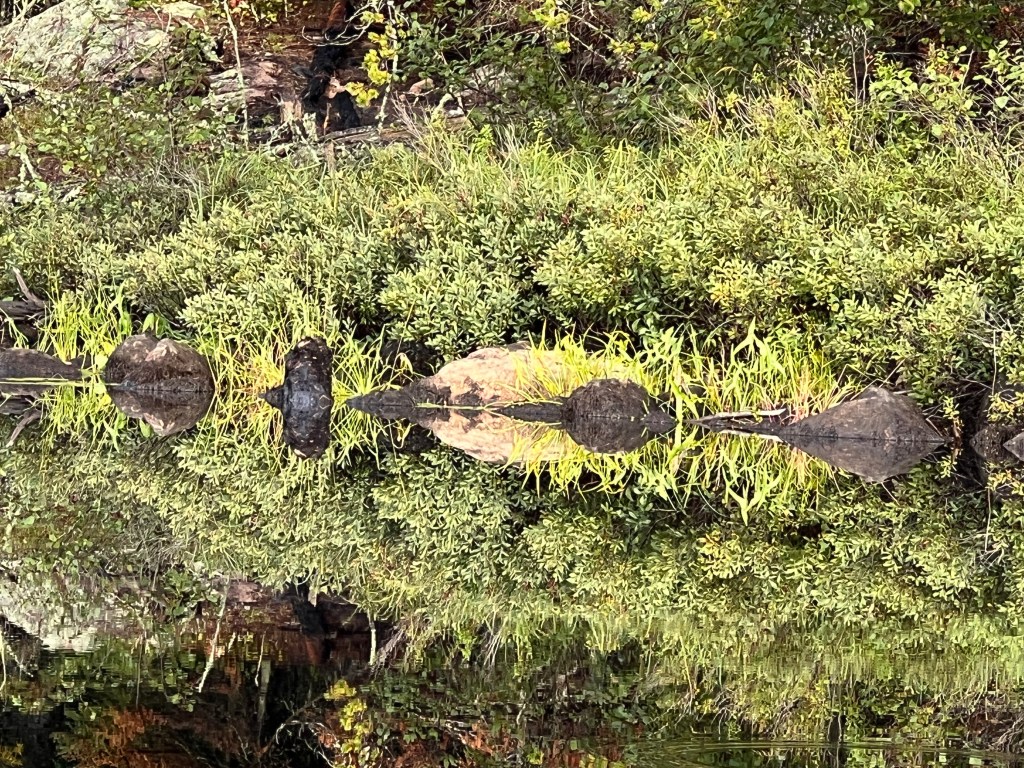
There’s no up or down
Back into the East Bay of Loon lake, Terry began looking for the campsite he had hoped for since seeing it two days earlier. We found it still occupied by the same people as before. We recognized the boats on shore.
The winds were picking up as we crossed the chop to find another camp. We saw two canoes lashed together with two men in each trolling. Terry asked if they were the inhabitants of the primo campsite. They admitted to returning every year to that same place just for fishing. They didn’t look particularly robust, so they probably didn’t arrive under their own power. They invited us to visit them, so hopefully we’ll visit and fish for more information.
Will this bring a rainy day?
It was starting to spit rain. Finding a campsite had some urgency.
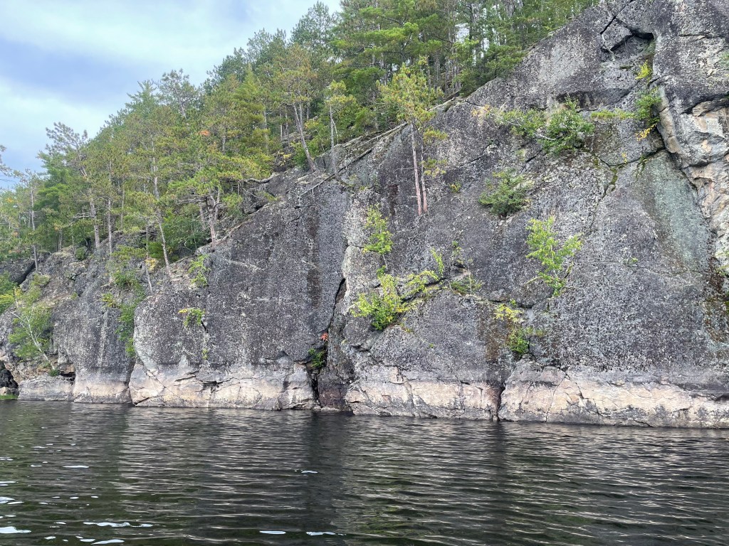
As I said earlier, with no signs or directions, finding a site by looking at the triangle on the map is pure luck. And unlike other areas of the boundary waters, they have fewer beaches for landing. Beaches are easy to spot. Here it’s mostly rocks, and they all stack up the same. Most sites are on a flat rock of various heights. What identities a campsite is a circle of rocks with a grate. We usually need to make one pass by in the canoe before we spot the grate.
This site had little room to land on. “To land on” is truthfully a euphemism for “smash into and wedge between rocks”. While wedged, you try to get onto one of the rocks without leaving your other leg behind and ripping your body in half. Once again, we prevailed. After moving in, we paddled out to deeper waters as because now Terry wants a lunker. No luck tonight.
Night comes early as we race toward the equinox. We haven’t viewed any stars in the night skies yet. Still hoping for a cloudless night.
I woke up in the dampness of the evening rain. Just enough to make you feel like you’re in a rain forest and to keep dry eyes at bay. Perfect for me. But this rain forest is cool. Jacket weather. This lonely place, lonely in the lovely sense, is devoid of numbers. No weather station or thermometer. No miles to travel, just lakes to connect. Should we count the rings on a downed tree? Why? This ancient forest is as old as my eyes. No numbers needed.
Terry asks, “What day is it?” I want to know, “Will we run out of coffee?” This is pragmatism. We should let it go.
Today we leave everything except a PB&J behind and head for North and South Lakes. We paddle north to our first portage 63 connecting us to Section Pond. So easy sans gear. I feel I need to know the difference between a pond and a lake but I can’t find that out, and why would I? I’m living the pond and the lake.
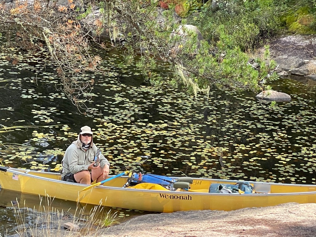
The Lilies of the Lake
The paddle starts as a narrow channel of knocked down reeds in the middle of a pond of reeds. So this is pond. But it opens into what looks like a small lake. So this is a pond too. We’re looking for the next portage 73. This will allow us to reach North and South Lakes both because they’re connected. In this vast wilderness there are no signs anywhere. You know the approximate location of lakes, campsites and portages by reading a map.
We’ve become quite good at finding portages. “Oh look, I think it could be there. There’s something that looks like a possible landing area with a bit of opening in the trees.”
So there we were on the other side of the portage in between North and South Lakes. We head north hoping to find a passage to Snow Bay or Lac La Croix, which is divided down the middle between Canada and the US.
We had to follow the parted waters in a field of water lilies some of them still holding blooms. A ways up we found the passage blocked by a beaver dam and decided to turn back. We headed down to South Lake which could have been a copy of North Lake but it ended in a stone wall with a loon in the water diving and making it’s occasional call.
South Lake
We reversed our travel to head home before any rain fell. Our evening offered fishing, meditation, and campfire glow. Shortly after we started the fire, we needed to douse it as the daily rain finally made it to us.
Woke to a wet tent, but no rain. We wouldn’t be able to dry our gear before leaving. But we stalled waiting to see if we might be stuck in a downpour. I got up about sunrise at 7:00. Terry got up for awhile and set 10:00 as our exit time. I got my gear ready. A motor boat came our way, and after trolling for ten minutes puttered off. I called to Terry. “Get up. No rain. It’s 9:30.” Off we We’re at 10:30.
Among the Lily Pads
The winds were shifting, and we had a fair chop. We left the waves behind as we headed into the narrows of East Loon Bay. Terry spotted a campsite he hoped we could camp in on the way back. Soon we were in Little Loon Lake leaving the motor boats and all people behind.
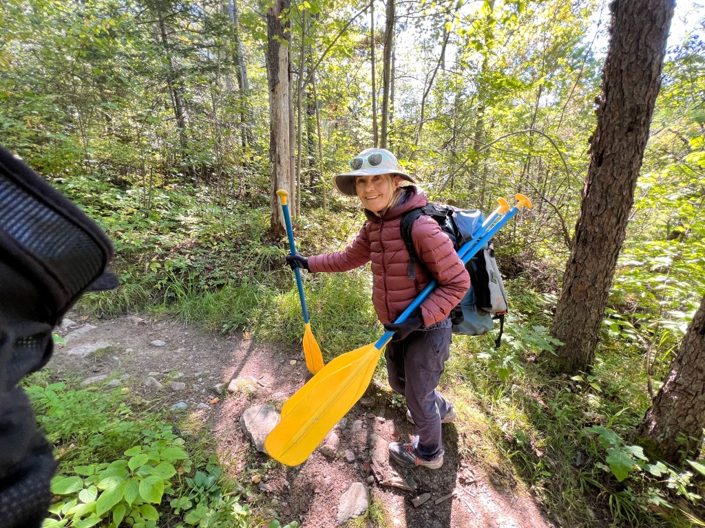
We entered Heritage Creek Portage 178. Our gear was so unwieldy and painful. It was two trips for me and three for Terry because I can’t carry his pack, the barrel nor the canoe. It’s a long way to suffer. He says it’s ok for him.
Oh this heavy load looks so light
We were planing on going to North Lake to camp, but we decided we didn’t want to carry this gear over any more portages other than the ones on our trip back. We were in Slim Lake and it suited us fine. We settled into the second campsite at 2:00. High above the lake without another soul.
Our picture overlooking our kitchen
Terry got several smallies on the shore. I offered to paddle him around. It’s a peaceful venture because I try to go slowly without a sound. It’s only interrupted by a fish. No roads no phones no money no rent. Ain’t got no cigarettes. Easy mind. Terry caught and release several. He’s waiting for a big one which he might cook.
The night held a shower or two and some lightning.
All the portages are measured and listed in rods. One rod is equivalent to 16.5 feet. The number next to mention of portages is their distance in rods.
I woke in the bottom bunk of three and rolled out unto the floor. It’s the only way I can avoid hitting the bunk over me about five inches from my face. It’s too early to get up at 3:30, which is 1:30 CA time, but we want to get an early start to avoid being out in the rain. The forecast called for clouds but no rain until 1:00.
I did all the things I could do without waking Terry showering, eating breakfast, carry non-gear to the car. At 5:00 AM, I announced I was turning the lights on. Per our normal standards, he was ready at 5:30 and me at 6:00. We hoped to get a 7:00 AM start.
Never has a canoe been on my car. At just three years old, I’m still protective. It was foggy, and Terry was reading the directions to me about Echo Trail which started out a nice paved road but soon became a nice dirt road. I drove slowly. Too slow to make our 7:00 AM planned arrival to the trailhead.
At 8:00 AM we started with a portage 40 rods down to the Little Indian Sioux River. We made three trips up and back. Terry carried the canoe over his head with the weight on his shoulders. We also carried all our gear to the canoe. We were ready but deferred to a guy with a light canoe over his head and a small backpack on his back. He flipped the canoe over and into the water in one movement. He jumped in and was paddling away. We resumed loading the two giant dry bags, our huge barrel, the soft-sided Budweiser cooler, borrowed from Brenda and our three paddles, three I case lose one.
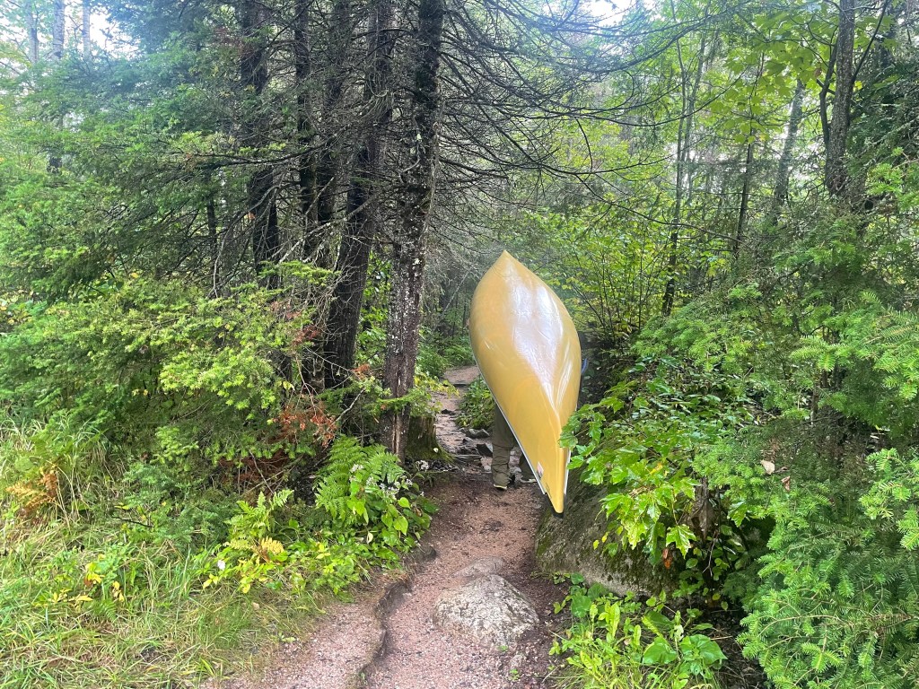
I think Terry’s under this canoe
We put in at Little Indian Sioux River. A marshy stream of water the let us get close to ducks and lily pads. In spots, the width of the river narrows to that of two canoes.
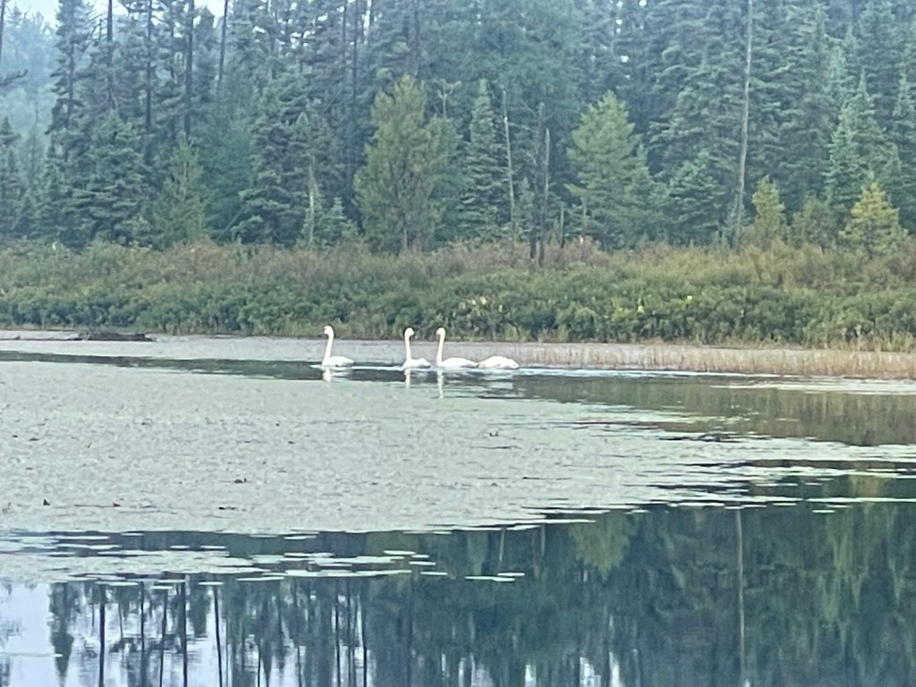
Trumpeter Swans
Two trumpeter swans fly over, followed by two more. They land a ways in front of us. One couple twine their necks around each other. And then they all trumpeted a blast that echoed endlessly.
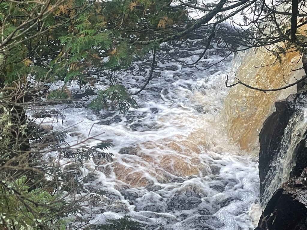
An hour later we reached Elm Portage 65. We could see two guys paddling toward us. And we let them go first. We figured they’d be up and over in one pass. But like us, they had too much stuff and needed to go back and forth three times. One of the guys told me that Elm was the most beautiful falls in the BWCA. To me it looked like Guinness beer flowing over a short drop. I can understand why that might be appealing to some.
Elm Falls
Our first lake, Upper Pauness, came quickly leading us to portage 38 that connected us to Lower Pauness. We had thought we might camp there, but it was only 11:30.
Our next portage was Devil’s Cascade 120. It connected us back to the Little Indian Sioux River and into Loon Lake. The portage was long and stumble-prone with roots and rocks snagging your toes.
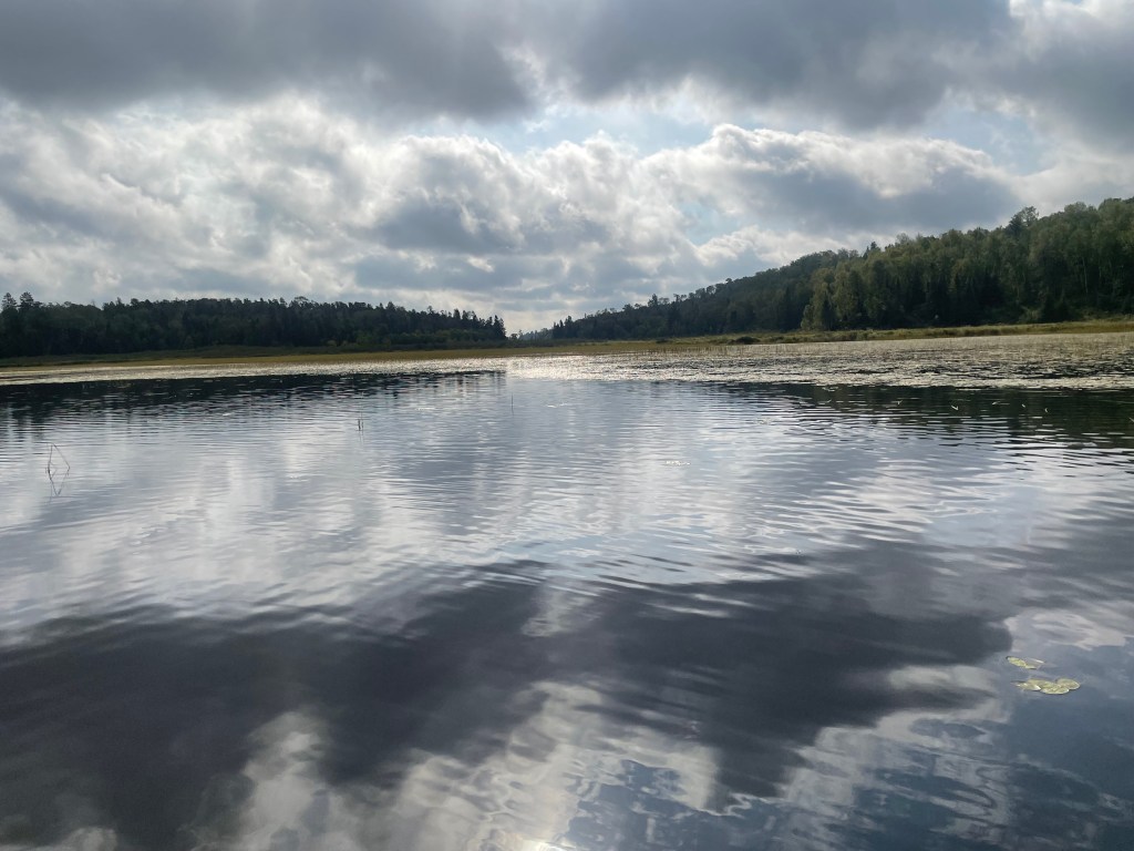
Upper Pauness Lake
The literature about our route claimed we would see few people. Of course we bunch up at these stops. There is a limit to how many can be at a portage at one time. Someone told us it was four. We thought we were the inky ones going out. But at the top of the pass, a canoe was left while the paddlers viewed the falls. People were coming from the other direction too. One couple had two yappy dogs on leashes and under toe. Nine people with us and it was crowded.
The portage was long enough for us to realize our fatal mistake. We forgot that all of our ultra lite backpacking practices apply to canoe trips too. Last year I used my backpack. Which is light filled with light gear. And it fits distributing the weight between shoulders and hips. Terry left his backpack home because he worried about his gear getting wet, he rented a huge dry bag. Along with being cumbersome, it was a tall dark hole that pulled our gear to the bottom of the bag. Retrieving items from inside was backbreaking. It allowed you to bring more stuff, but that’s just what you don’t want to do.
When the weather stations were threatening four to five inches of rain, I thought I needed a dry bag too for more warm clothes and more rain gear and a book. The dry bag was worse than ill-fitting. It only allowed painful lugging of unnecessary items.
The skies were overcast, but rain didn’t seem imminent. We could enjoy the rest of the day with no other portage looming. Paddling from the Sioux to Loon Lake we saw a Beaver Dam obstructing our passage. We scouted both sides and choose the right to pull he canoe around the edge. Once in Loon Lake, we looked at two camp sites and set up on the second perched high up a rock with a wide view of this big lake. This lake allowed motor boats, and we saw some fishing in the distance.
Terry casting in Loon Lake
Our tent was up and camp arranged leaving time to paddling our empty canoe. Terry could do some fishing. We met two guys doing the same and had a friendly talk. They said the two previous days were hell. Five inches of rain!
Shortly another canoe paddled by. They had been doing this same trip for 30 years. Terry asked if they had any tips on negotiating beaver dams. They said a ranger told them if the drop was less the three feet, you pick up speed, choose a spot and go for it. They did this and cracked their boat.
Our night ended battening down for the coming rain and closing the fly behind a light drizzle. Hard rain passed over us during the night.
We left Greg and Brenda, my brother and sister-in-law’s, house in Fridley MN at 8:30. All the weather forecasts were calling for showers through Sunday.
Just before leaving I read a blog about a party of five men paddling the same route we were heading for. They had rain from day one making for a cold wet journey fraught with serious mud and treacherous negotiations of the many steep portages. Hence we drove the 200 miles from Fridley to Ely in a solemn mood. We did discuss leaving a couple of days later then planned. That prospect cheered us a little, but I was pretty sure that would be impossible. They have a quota system that allows a set number of people each day to enter the BWCA.
This is a lot of rain for Californians
Just after our route veered away from Duluth, the rain began in earnest. It was the first time we praised the result of our earlier mishap of having our tire blowout before we reached Sacramento. It happened 140 miles into our 2000 mile journey from Santa Cruz to Fridley. Five hours after the event, we had four new tires. Now heading for Virginia MN with the rain dumping and our wipers madly slapping, we both recognized the security brought by new tires.
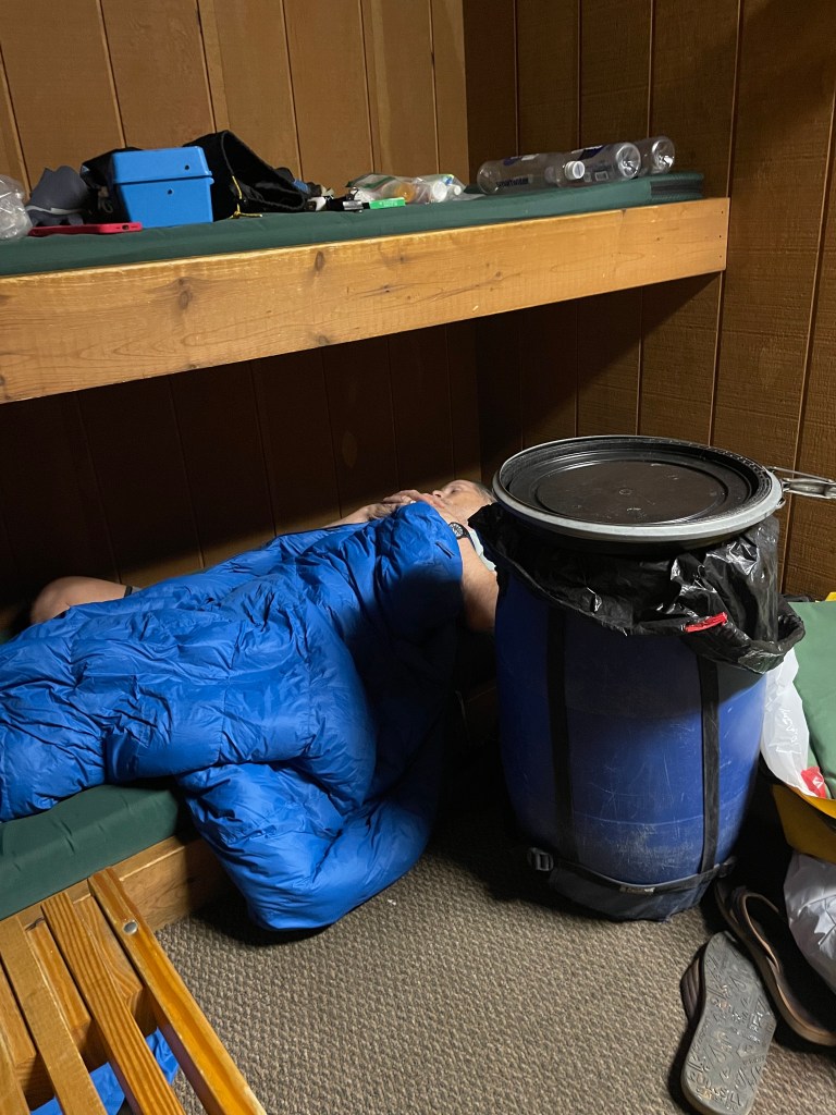
Terry asleep in our bunk room at the outfitters after hours of packing gear.
We were at the outfitters in Ely MN by 3:00. Terry asked about us moving our entry date from Saturday to Monday. We were informed we could do what we wanted once we entered the entry point on the date of our permit at the entry point we requested. Here we go!
The next morning the three women camped near us were headed to the Wire Pass Trailhead. It was only a mile up the road but it had far more visitors. They said we’d definitely get a ride there. So away we went. .
Unfortunately hikers were arriving to hike and wouldn’t be leaving until the end of the day. Realizing we might have to just hang around all day we tried to muster a congenial attitude. Perhaps someone would abandon their plans and drive us out of there. Or realistically give us a ride when they finished.
We moved from one corner to the other looking down trodden playing on people’s sympathies. Finally we plopped down behind a shed to get internet service. A couple came to clean the bathrooms. We told them our plight. Any ear would do. The guy came back with a phone number for a possible ride to Page. It worked. Even though the woman who answered didn’t seem to want to answer it. She was curt with Terry and wanted him to be sure he understood he needed $150.00 in cash. “Sure we’ll come up with the cash.” OK the driver will be there in half an hour. Rescue was on the way!
While waiting, we noticed Megan with a clipboard stopping at all the cars in the parking lot and writing dow the license plate and permit numbers. We asked about her job. Turns out she was a volunteer six days a year. For that, she received a hat and a pass to The Wave. It takes seven years on the waiting list to get a permit. She and the other volunteers check for hikers who go missing. They also give the ranger information on hikers who may not be permitted for the wave. Don’t try it. The fine is up to $100,000. Someone was caught on the edge of the wave without a permit. They tried to lie their way out of the fine, claimed innocence, but ended up paying $5,000.
Steve, our driver arrived. Shortly after we started talking about drought and fires, he said “We’re Fucked! In five years there will be no water here. It’s all burning. We’re all fucked.”We have heard this from all of our drivers. “But they keep building and watering golf courses. And there is no water!” This is worldwide, of course. And I guess we’re all fucked.
We arrived in Page to learn there was no public transport to Flagstaff. Terry suggested a rental car. Amazingly it was a short one mile walk to pick up a one way car, that cost 1/3 of an Uber.
Driving back to Flagstaff, we were astonished at the distance. Was this a long walk just to realize we’re all fucked?
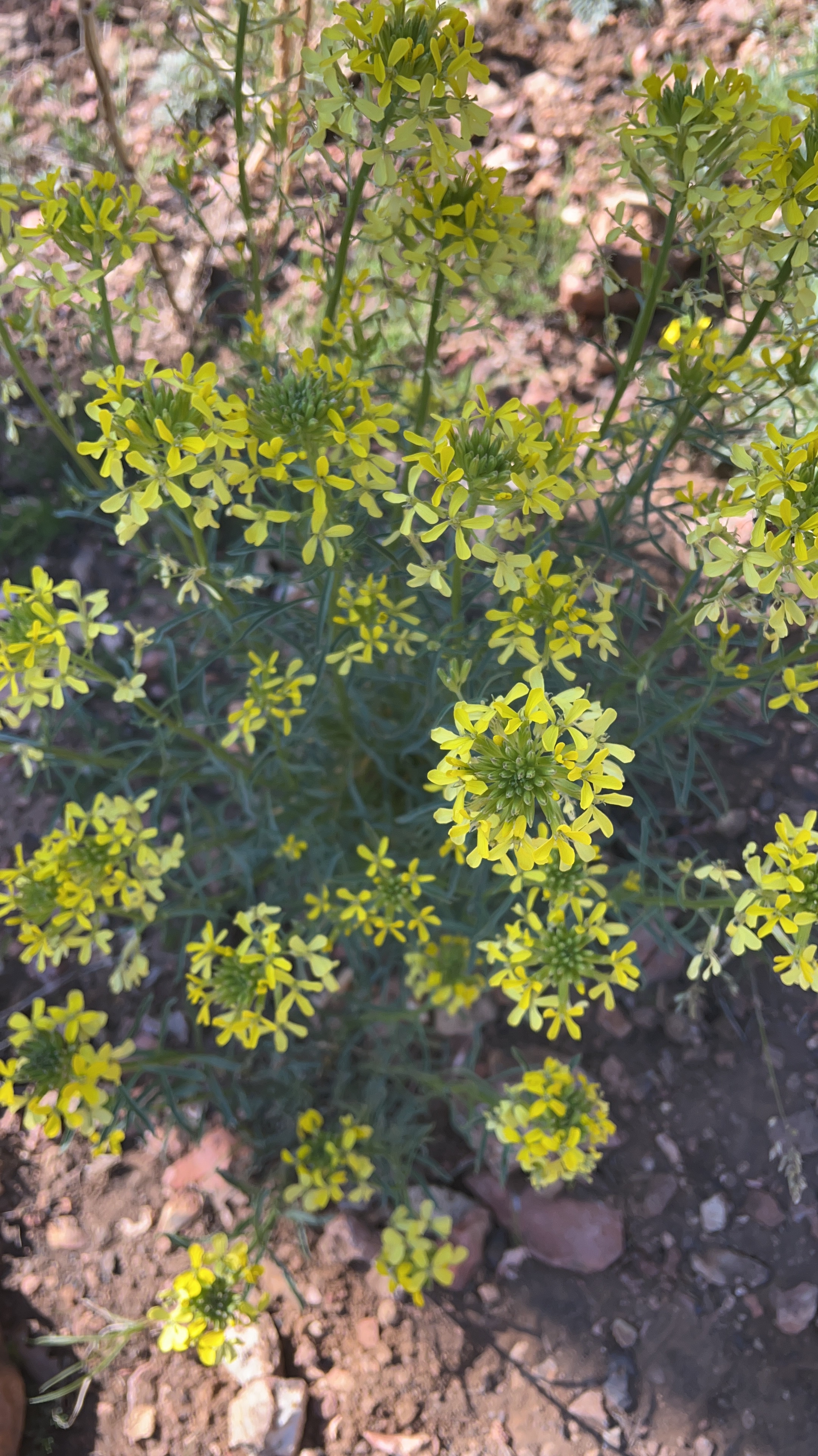
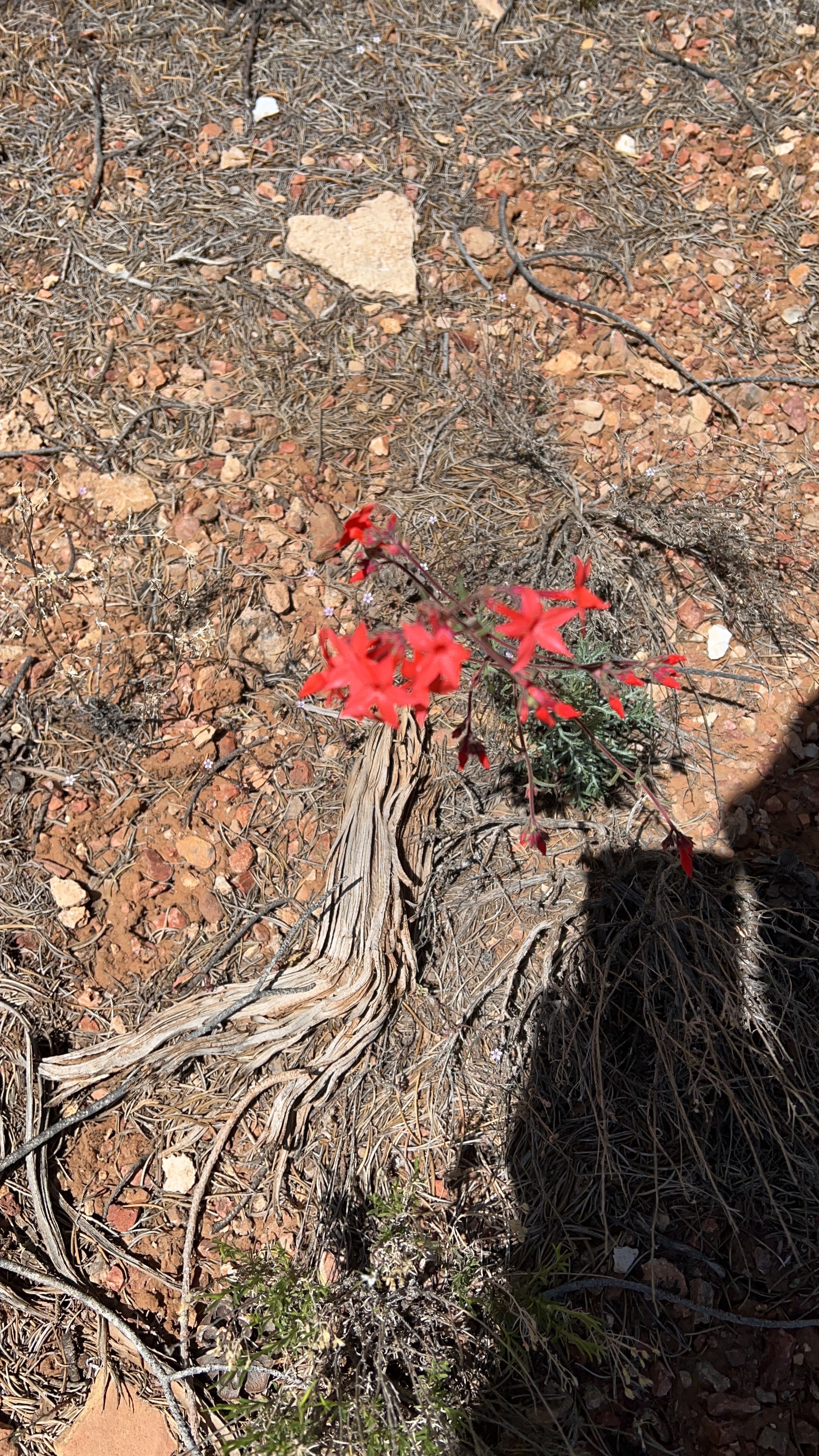
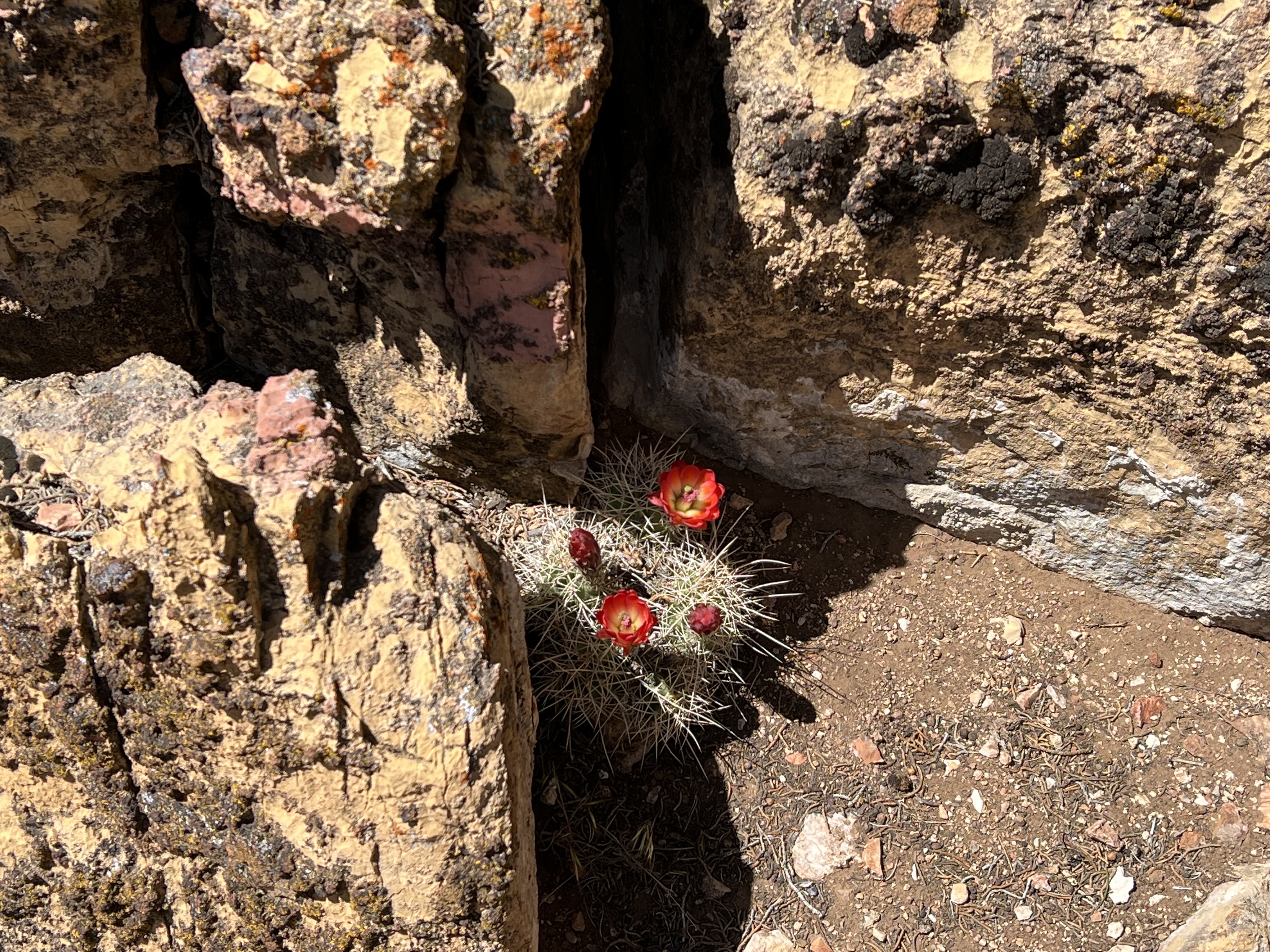
Or was it a long journey to see flowers push up the dry earth without water, and survive? Will we still walk on barren land until we get it right?
I know the title sounds melodramatic or maudlin or dreadful. Whatever. I’ll work on tomorrow’s.
We think we can make the 22 miles to the border. We were packed and assessing if and where we need to get water. Our app FarOut lists all the possible water sources. Hikers report how reliable these sources are and the date they saw them. About half are dry or poor quality. All need filtering. It takes time to check them out and now time will end this crazy journey and we’re ready. We don’t really need water. Do we?
I’ve complained a lot. Of course it’s crazy hard. But, particularly in this section. Since leaving the the north rim, the wind has been insane. Most of the time we can’t hear the birds, see through the dust, take the next step without being jostled. It’s a pushy, invasive presence.
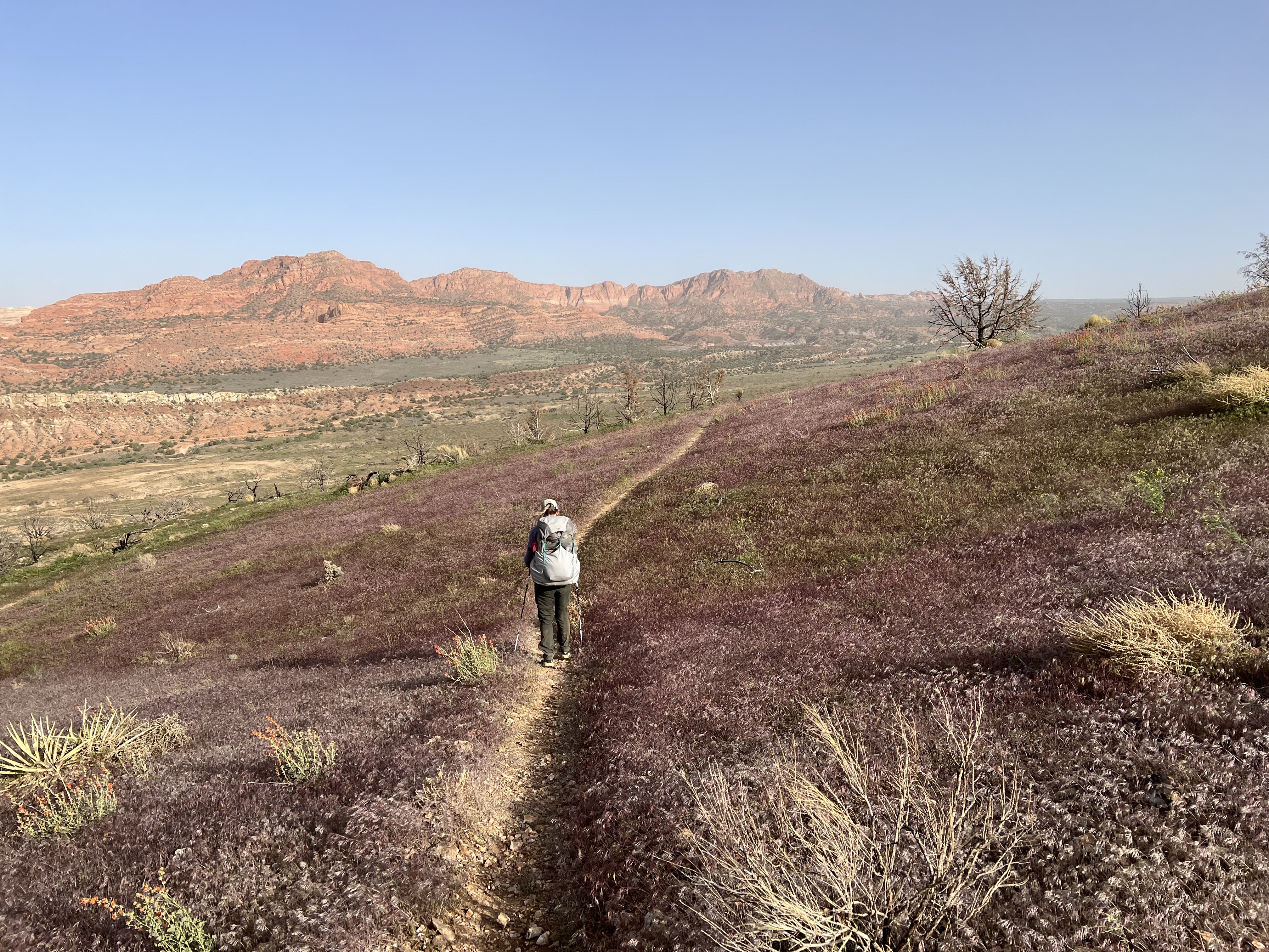
Today the wind was really strong. We’ll find from locals, after we finish, that they have never seen anything like this wind, particularly in May. On this last day, we met up with 50 to 60 mph gusts as we wound down the four miles of switchbacks to the terminus. It was treeless, the grasses were purple, dotted with yellow and orange flowers, and they were all waving madly in the wind. Everything was alive as we twisted through this gorgeous landscape. When we changed directions a quiet spot allowed us to hear a meadowlark.
Then we were slapped with the incredible power of the wind, I was pushed and forced off my feet. I stumbled forward and twisted around until I was in a heap, across the trail, on the my backpack with my hiking poles velcroed to my hands. I was trapped. Terry looked down with some mirth. It dissipated when he considered in the last mile of this 400 mile journey he might need to call the helicopter. Oh he would hate to be that embarrassed. All I needed was help getting my poles off.
It was hard to tell our speed. It appeared we were making progress. Then the trail straightened and we climbed some rocks and were out of the wind until we were on the final steps to the terminus of the AZT. The colors of the Vermilion Cliffs National Monument were all ablaze. We positioned ourselves in front of the underwhelming AZT Monument and were glad to end this journey. We took a selfie. That’s it? That’s it.
5:30 May 8, 2022
We were at the corner of the state line campground. Maybe there were 10 sites. Everyone went on with their business. No one turned their heads to notice us. This was like Brueghel’s Icarus. At least to us. We had no way out of there. It was 47 miles to Kanab Utah-the opposition direction of Flagstaff, where our car is parked and 40 miles to Page AZ with 10 miles of gravel and washboard roads. Most of the shuttle drivers who used to pickup hikers, won’t even pick up their phones. It seemed most everyone, who had a ride, got one from a friend or family member. We thought that being so elderly would bring the pity factor into play. HA!
We walked over to the road and stood in the wind with our puffies zipped to our chins, hoods up, and sun glasses on. The dirt rocketed against our nose and hands. It glazed any exposed skin with a red dust. It jostled us back and forth with it’s sudden bursts of energy for an hour. We planned to pull our hoods down and give the thumbs and a grandmotherly & grandfatherly pleading look to give passing cars. No one passed.
When a woman, Megan, drove up and told us she couldn’t give us a ride because she was working, but she could offer us a campsite. She did her paperwork in her car and then slept in it. There was room for us to put up our tent at her site. Best offer yet, though there was little escape from the wind, which attempted to destroy our tent, one gust at a time.
The wind sounded unfriendly again. I see why their forest fires are so bad. I’ve had a many first-hand views for 11 days, tramping through an amazing number of burns. We camped in the first stand of trees we found last night thinking finally we left the devastation behind. But this morning we walked right back into it and then the trees started to appear. The large ones charred, the new growth sparse, the aspens replacing pines.
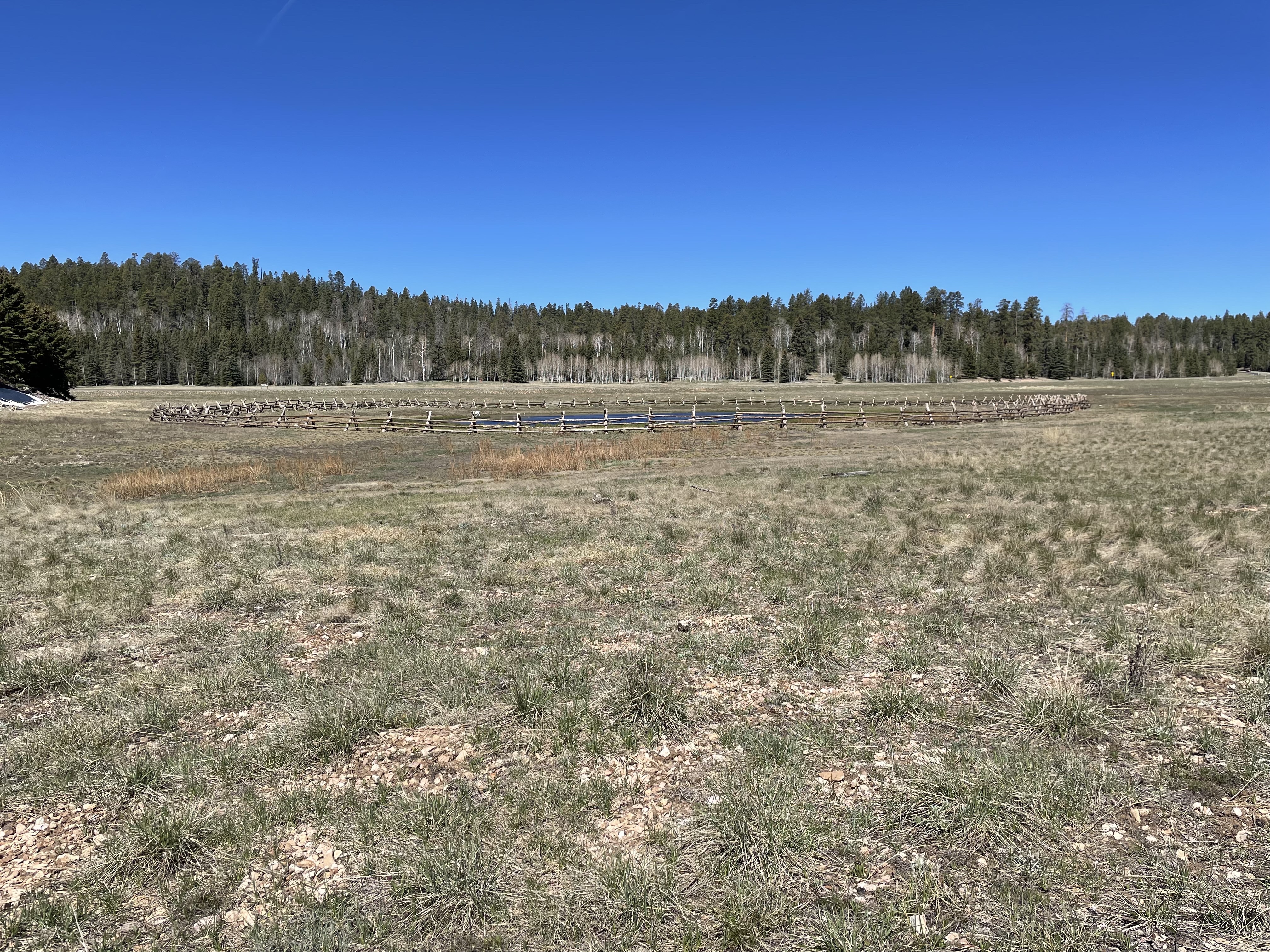
We left our site at 6:15 heading to the town of Jacob Lake. In 1858, Jacob Hamblin, a Mormon friended the Natives who lived on the lake and sold their lake’s water to other Mormon. Now the lake is a pond unseen by us. It’s reserved as a wildlife water tank. Good use for our most precious resource.
Finally we found the morning sun
We had to leave the AZT for a two mile hike into town. We tried to hike the shortcut, but the directions were unclear and we ended up bushwhacking our own cross-country route and actual saved some time. We arrived at the restaurant at 10:50, ten minutes before they stopped serving breakfast. The breakfast was served at a U-shaped bar. The bar was empty. We apologized to wait-staff for our filth and our stink . She assured us they were used to hikers. Shortly six hunters dressed in camouflage arrived and we moved down to facilitate them sitting together. Terry asked what they were hunting. Turkey, the guy next to me answered. To us, the whole area was devoid of any wildlife. In 70 miles we’d only seen 1 deer and 4 mallards. We hadn’t seen any turkeys since hiking down south and that was only one flock. I asked if they’d seen any. The guy next to us said “One.” The guy next to him said, “We shot it.” The guy next to me shook his head no.
At 11:00 they opened the lunch area and the place filled up. We needed to charge our phones and their chargers. I really wanted to send my posts but the service wasn’t good enough. And we didn’t want to waste our whole hiking day in what was now a crowded place. We needed food for the next two days. All they had was a small selection of convenience store items. Tonight’s dinner would be cup of Mac and Cheese and potato chips.
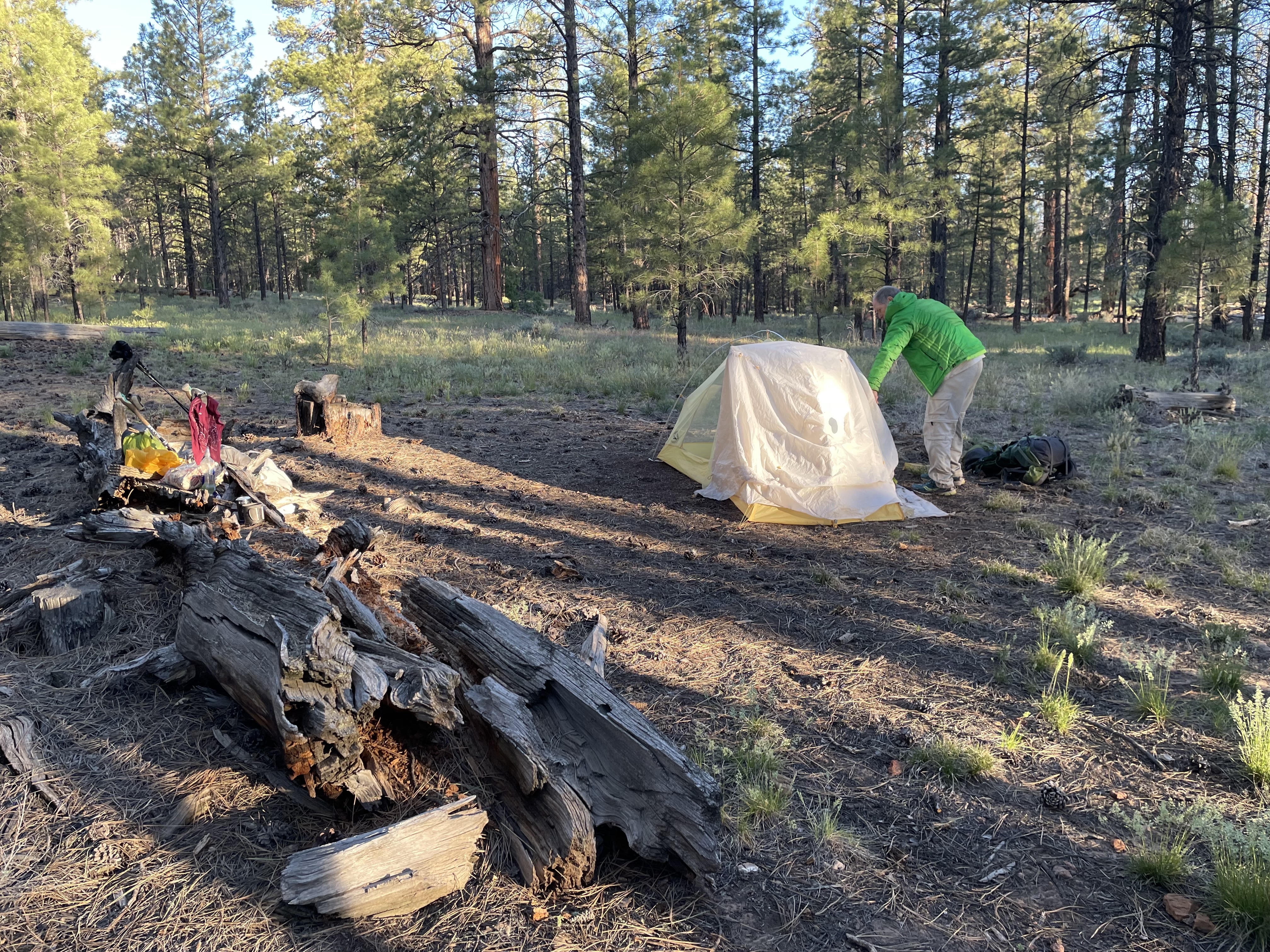
We hiked on until sunset was imminent. We looked for an open space to put up our tent hoping to get some morning sun. The wind was still roaring.
Lying on our backs staring at the yellow netting of our tent and talking was so normal but surreal being only 22 miles from Utah, the finish. We talked about the thru-hiking experience. For us it’s a lesson in deprivation, conservation, making do, respecting our surroundings. That’s not really it. That sounds too didactic. This is only about taking a long walk.
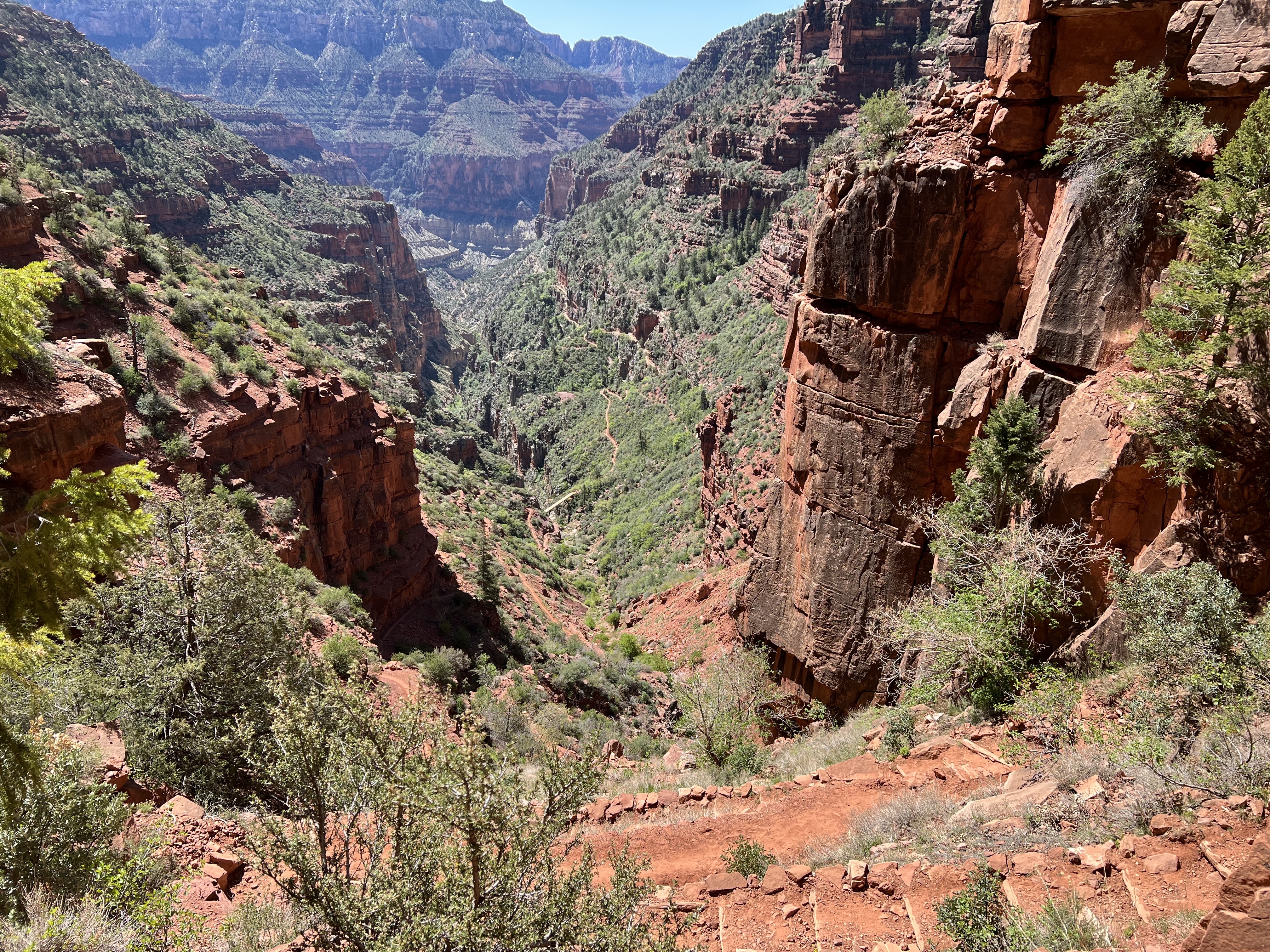
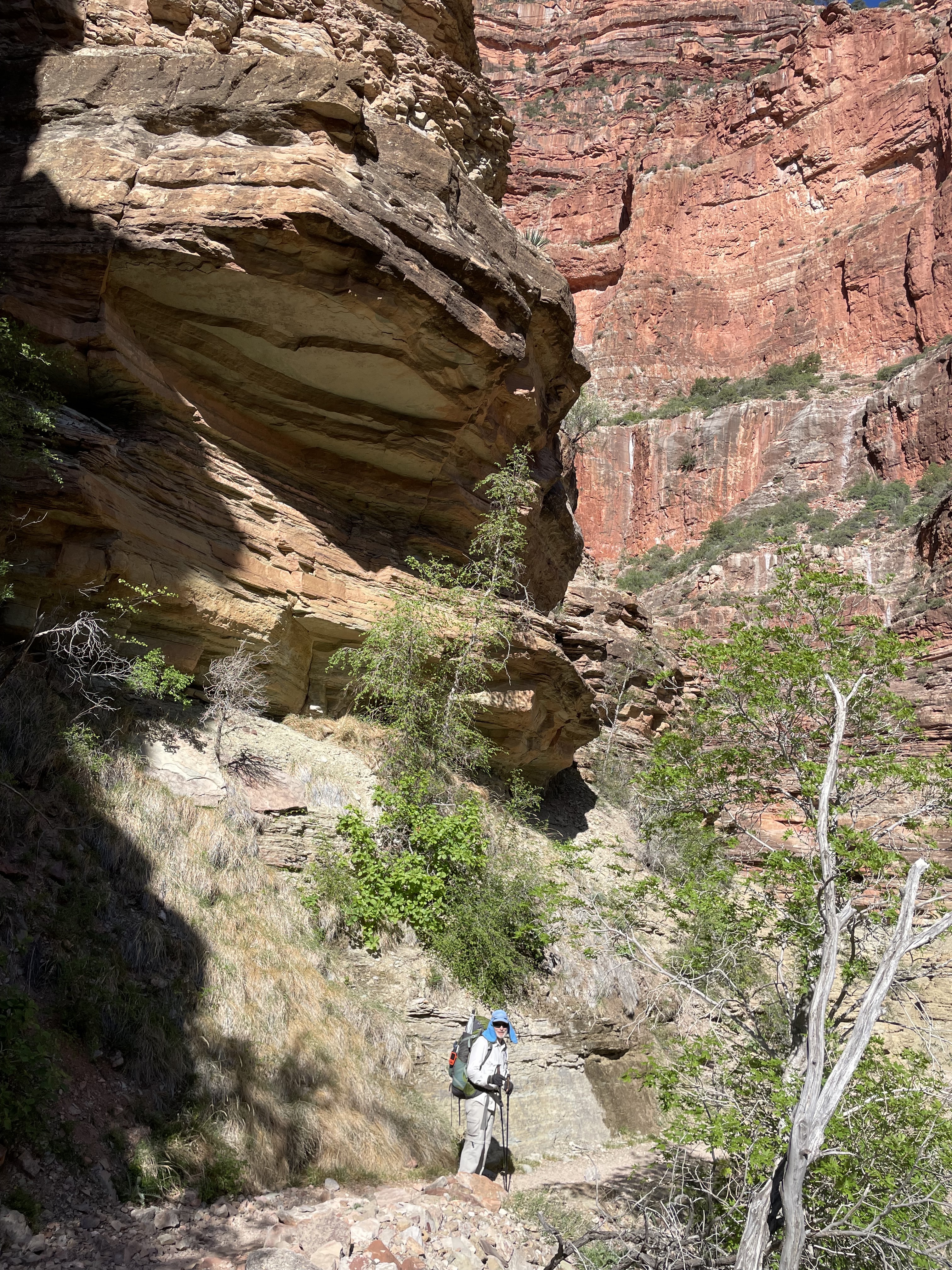
This was the day I look forward to with dread and wonder. Seven miles of switchbacks up a wall. Which turned out to be magnificent. Terry declared that no other place was as beautiful. I said more beautiful. There were only two other AZT hikers but lots of other traffic: Americor workers, people hiking up and then back down to their campsites. And ten rim-to-rim runners going from south rim to north and then back in one day. Brutal.
Celebrating at the top of the North Rim and then I got the news
Everyone was celebrating at the top. We were sore but proud. We had internet connection. Checked my text and Tony had just texted that Dominic broke his arm at school falling off the slide. I called him and they were at the hospital and his mom had arrived. He had a compound fracture. The bone was protruding. He might need surgery. They were just x-raying it. We were heading on, but I said I’d call within the hour. I thought we’d have service because we were still in the park. But we lost it immediately.
The trail continued on a relentless gradual uphill. For an hour I was deep in thought and worry. I felt like my pace was fast and we had gone about 3 miles, but we had only gone one. The trail was steeper than I thought. I was so discouraged. I worked hard to hold a faster pace but there were many fallen trees to navigate over or around. The trail ran parallel to the main asphalt park road, so we got on the road to make better time after about 3.5 miles. For another 6.5 miles we were on the road. It got ever colder. I had my windbreaker and my puffy, and my backpack on and was still cold.
Just before the park exit we rejoined the trail and set up camp at 6:30. We set up camp, ate a warm dinner, put on layers of clothing and zipped our bags over our heads.
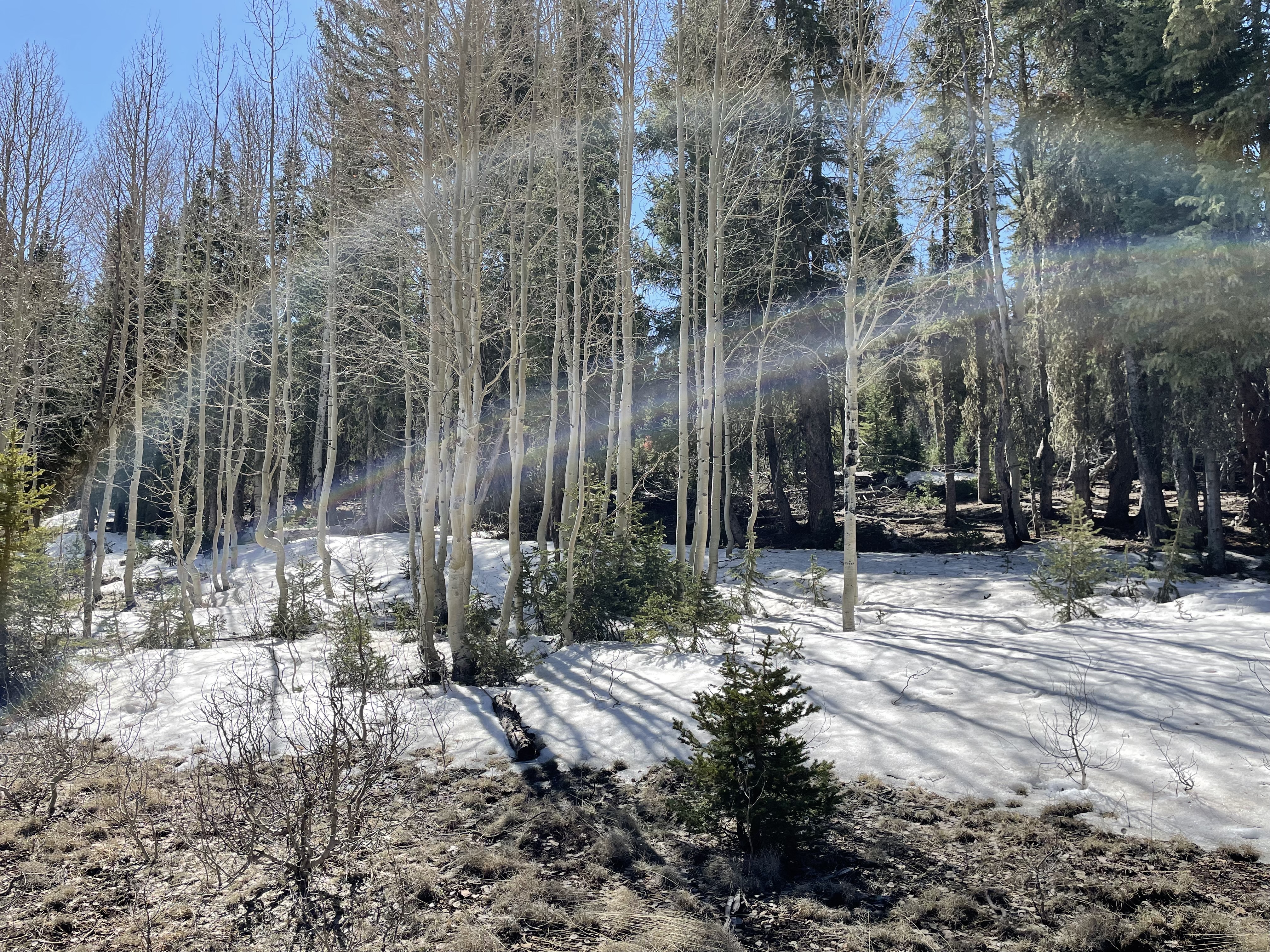
We awakened to the call of a wood thrush, like bell tones in a choir. He was announcing the temperature: low 20’s. Our water bottle left outside was frozen, except for a 1/32 layer where it was insulated by the ground. Inside the tent everything was coated in frost. We hunkered in our sleeping bags until sun finally hit the tent and frost changed states. Then panic struck as raindrops fell on our hydrophobic gear.
8:45 – Our latest start yet. It felt criminal to have missed the best hiking hours. All day the trail undulated between meadows and forests, 8500 and 9200 feet. Poplar and fir are most common. There have been numerous blowdowns and fires over the years. Other than a few Raven and deer, not many animals in sight. Clouds of aggressive gnats annoyed us all day.
There was a spectacular vista of the Kaibab plateau, and it was possible to envision the channeled rains gouging the Grand Canyon deeper and deeper.
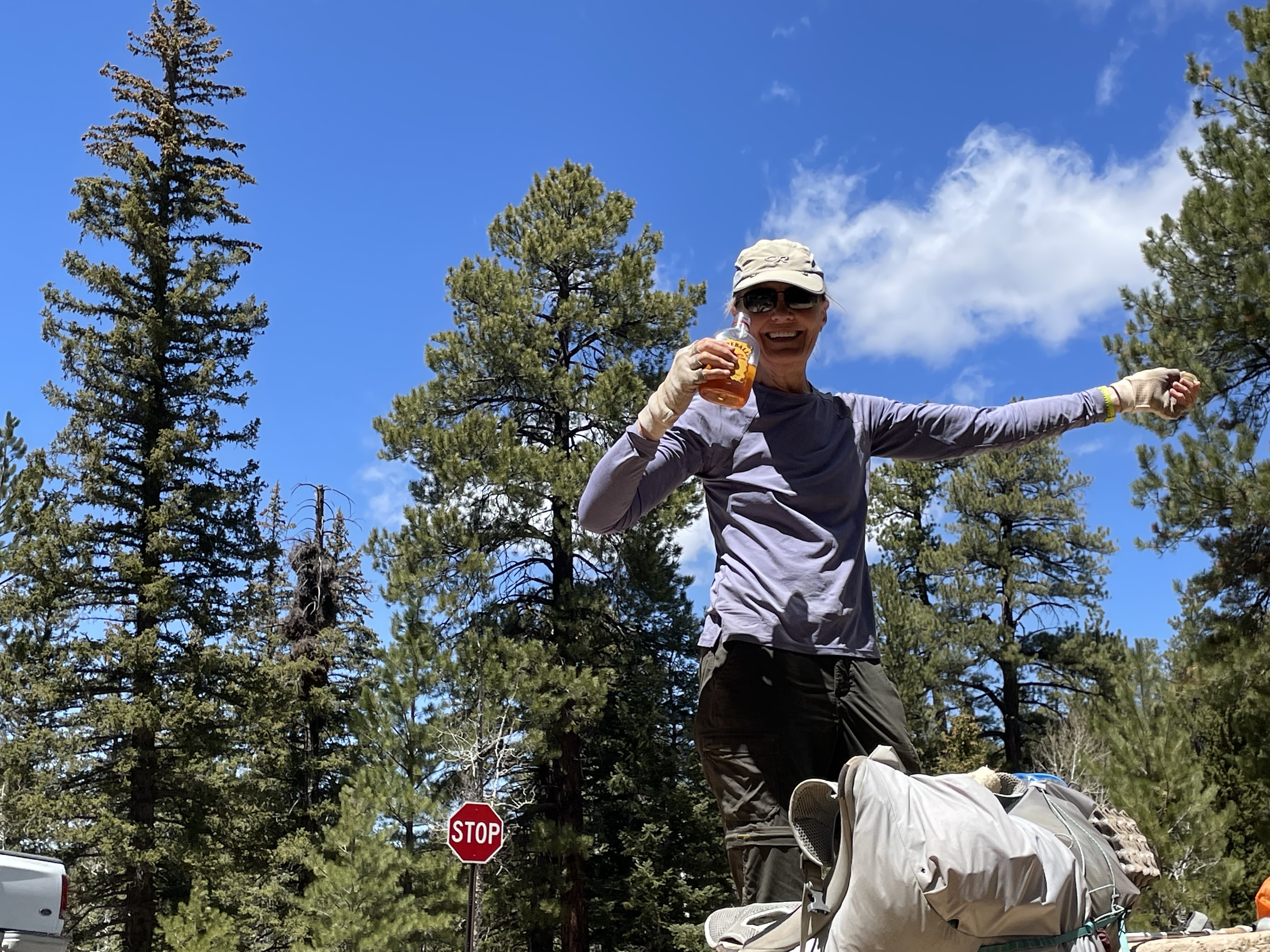
Today was a short day. Cumulative stresses of the 6,000 climb out of the Grand Canyon and poor sleep had sapped our strength and collective will. Deb says Doubleshot and Fireball saved her.
Deb here. I spent most of the day trying to get a signal. At 1:00 I got a weak one and a text that Dominic had just gotten out of surgery. We walked up and past the East Rim of the Grand Canyon, quite a different view with an expansive desert stretching out beyond the Canyon. Finally I was able to get two bars and spoke to both Tony and Dominic. He had surgery yesterday. He had compound fractures of both his ulna and radius. The ulna was protruding under the skin. They tried to set them while he was under sedation, but weren’t successful. So they repaired them surgically adding a pin in both bones for the growth plate. He’s 12. I asked Dominic how he was and he said, “Fine. I guess.”