Seek Identification April 2, 2022

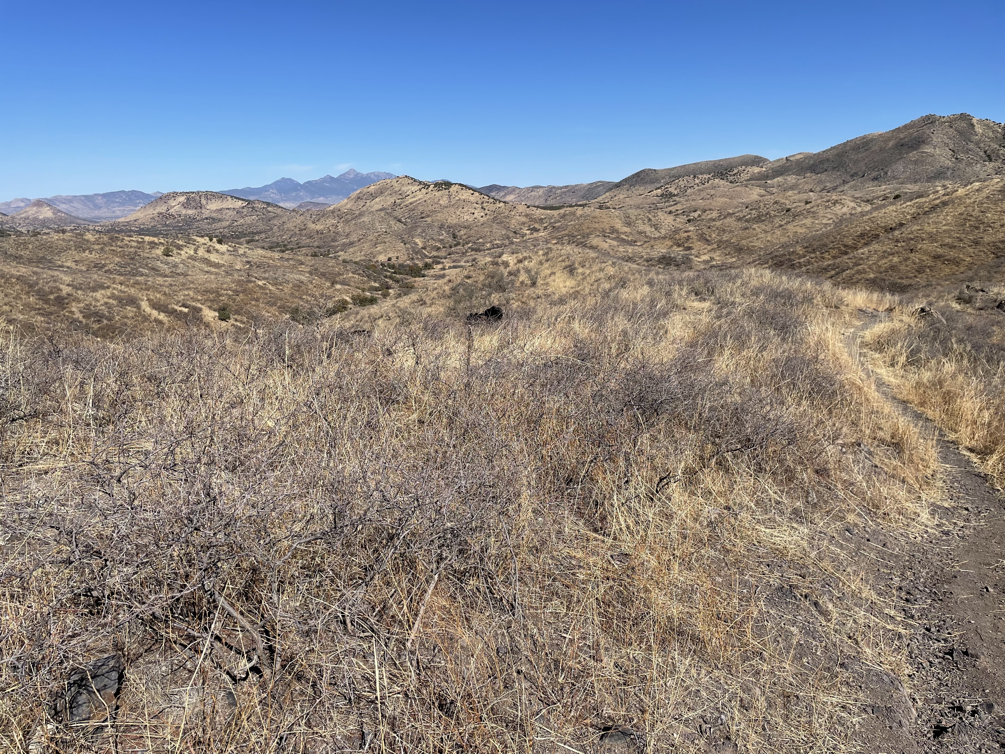
The night was mild and dry, no interior condensation. By 7:30 we were pushing up the final 500 feet of climb over walker peak. On the descent into Walker Valley, the terrain gradually became more desert-like. Lots of stabbing members of the agave family lined the trail, daring anyone to venture too close. Cane chollo stood like silent stick people. There were also Mexican pinion, silver leaf oak, and another rainbow hedgehog. Turkey vultures patrolled the sky, while Stellars jays kept up the chatter .
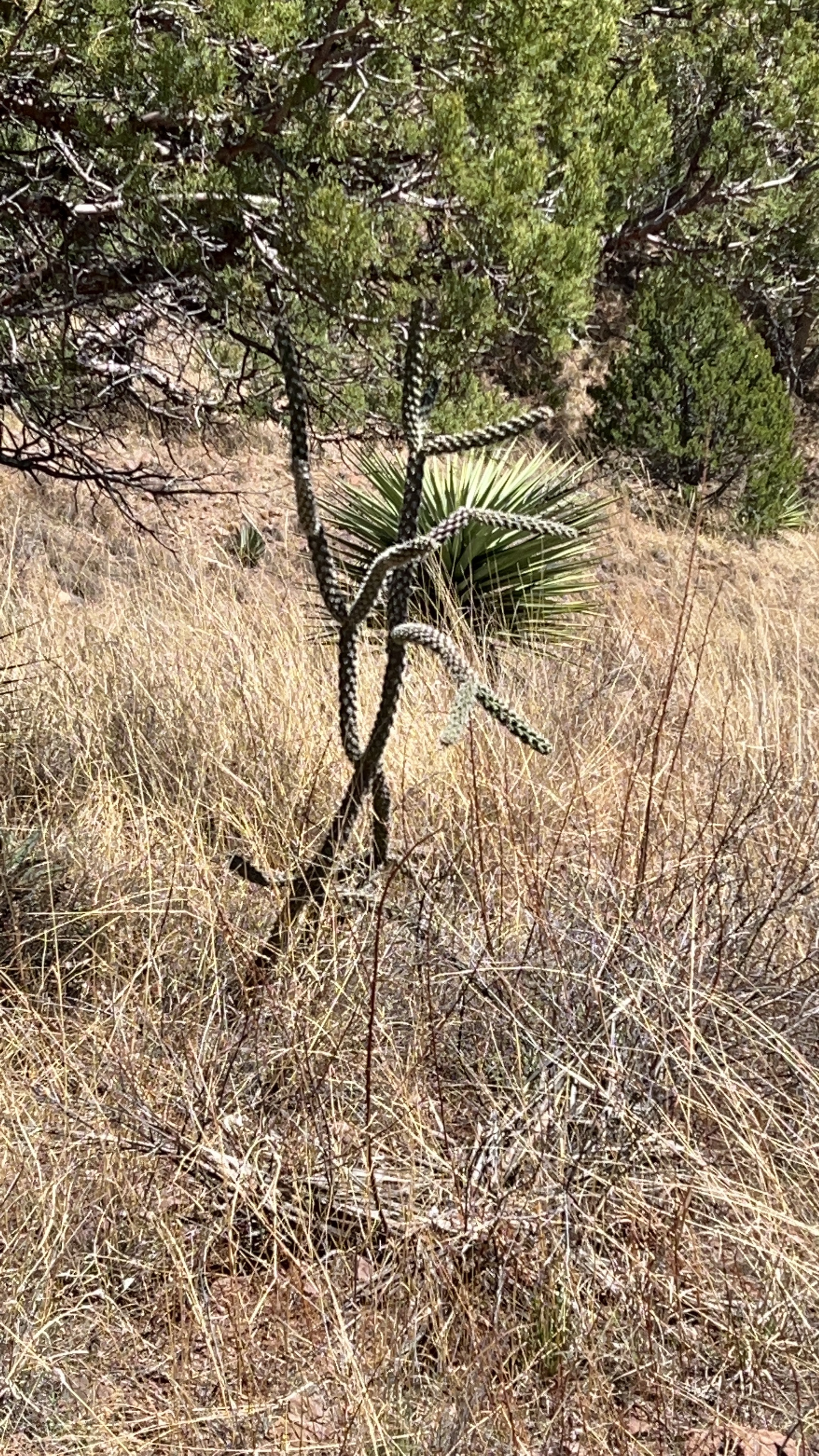
Came cholló

For hours we descended on cobbly trails before arriving at bear spring, our water stop. It had been lightly shaded and cool, but both shade and cool were gone now. Weekend campers had driven a gravel road to access bear creek and we’re scattered around under tall sycamores that lined the creek.

The trail merged with the gravel road. For hours we walked in the hot sun, conserving water, not knowing where the next gallon might be. Finally we bumped into a butterfly aficionado, who had been scouring the desert in search of his favorite specimens. He recommended that we stop at Kentucky Camp, an old gold mining area. It is an amazing park service oasis for hikers. There are some historic buildings, complete with power and water.
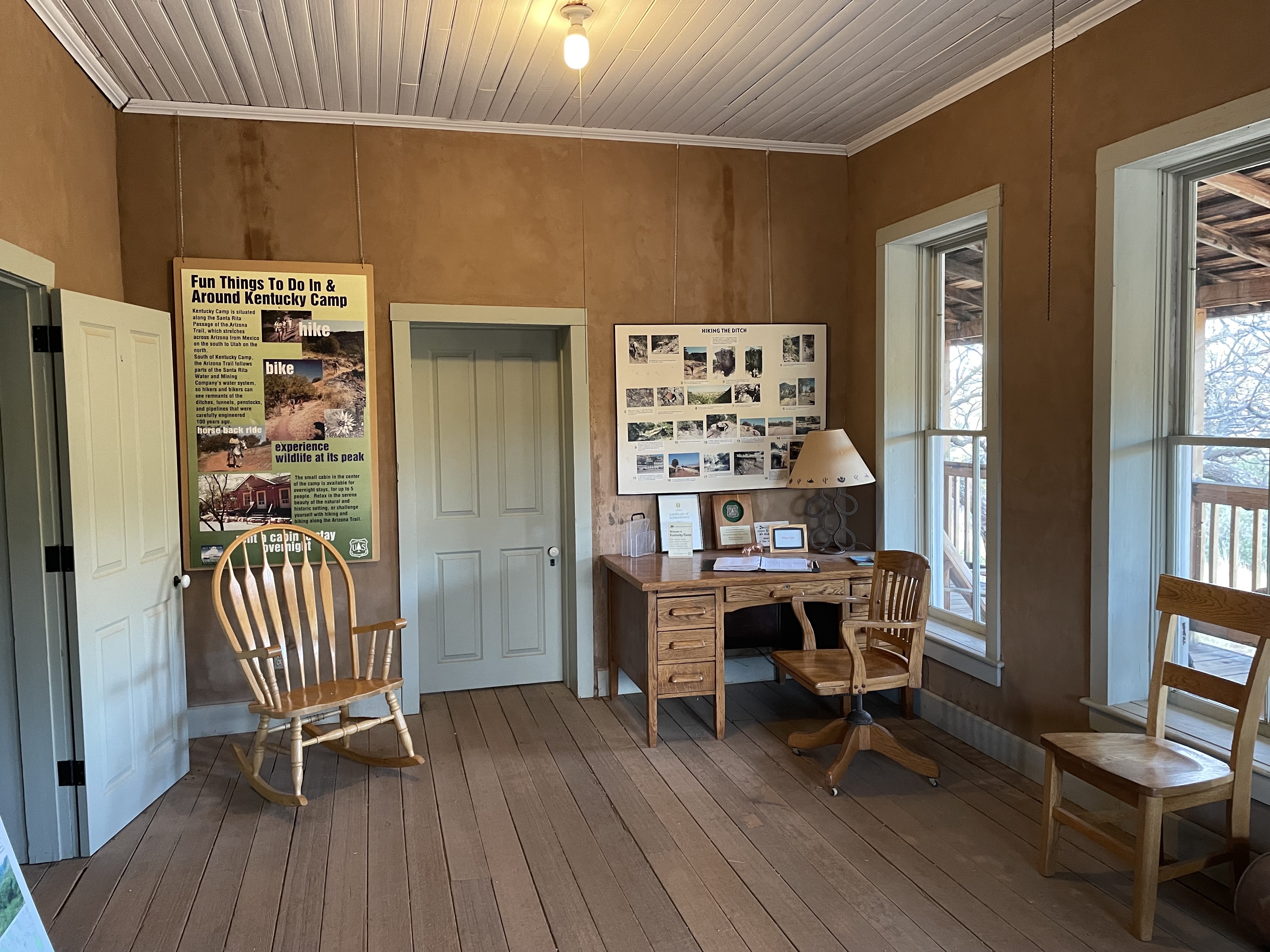
Kentucky camp

Needs CheeseApril 1, 2022

Along with the troubles and pain of the trail, there’s always a bit of magic. A couple of days back, at a junction, a woman popped out in front of us. She had a bag with a liquidy yellow gruel she was eating. Her trail name was The Giver. She was pretty much a full time hiker. She had hiked about four hundred miles from the north, and when she finished she would head to California and hike the PCT again. She asked to take a picture with us. She takes a picture with everyone. So of course, we too wanted in. She had a tag sewn on her shirt that said “footprintsforchange”. When I looked it up yesterday, I found her Instagram account. It’s really fascinating.

When we arrived last night there were three hikers and a biker at the campground, I mentioned I’d lost my glasses, one of the guys said, check the hiker Box, there’s a pair in there. They fit! After two days of misery, I have a perfectly good pair of shades.

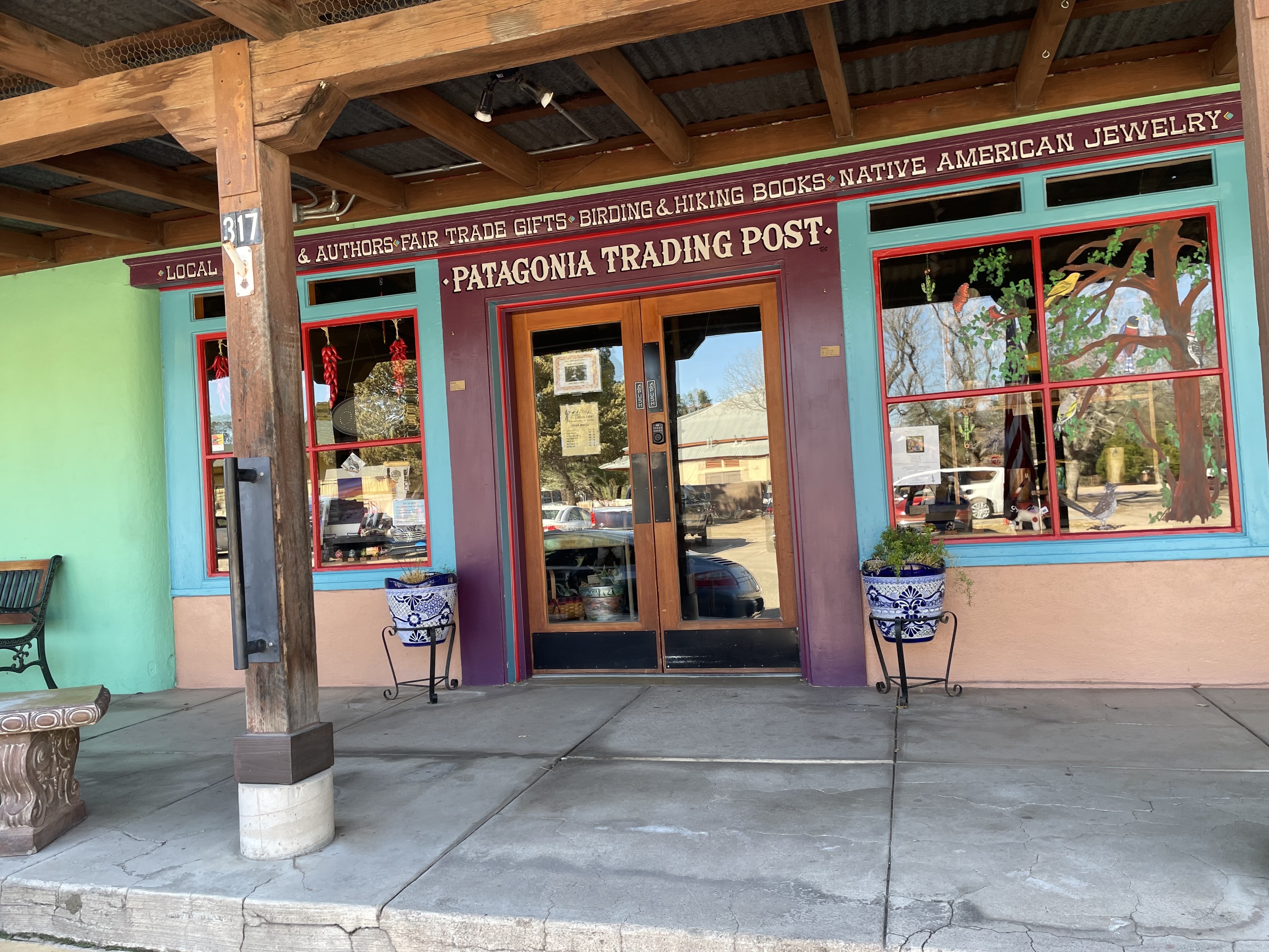
We walked to downtown Patagonia for breakfast, and to retrieve our food package from the PO. It’s a small town stretching about four blocks on one street. The storefronts are brightly colored and cutesy.

Patagonia

Because it’s small town the hikers and bikers that came into the diner filled the place. Our shuttle driver from Monday retired here because real estate is cheap, it’s quiet, and the birding is great. Also, the politics are liberal.

Back at the campground, we were trying to get a move on it. But after four days on trail, we had business to take care of, showers to take, a food box to pack and clothes to wash.

Easier Incline

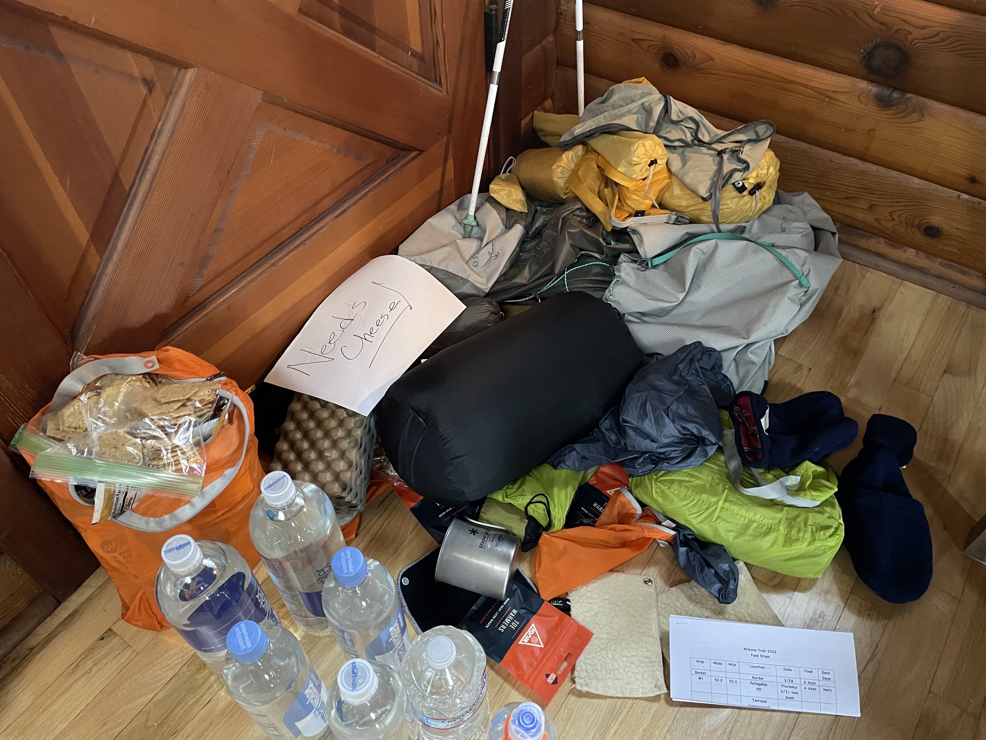
I called Diana about the next drop. I had asked her to sign my name on a document and send it to a company that needed my “wet” signature. When I asked how she did on this forgery, she said the only writing sample she had of mine was the “needs cheese” I had written on the food box. So she copied “Needs Cheese” as my signature. There it is my new trail name.

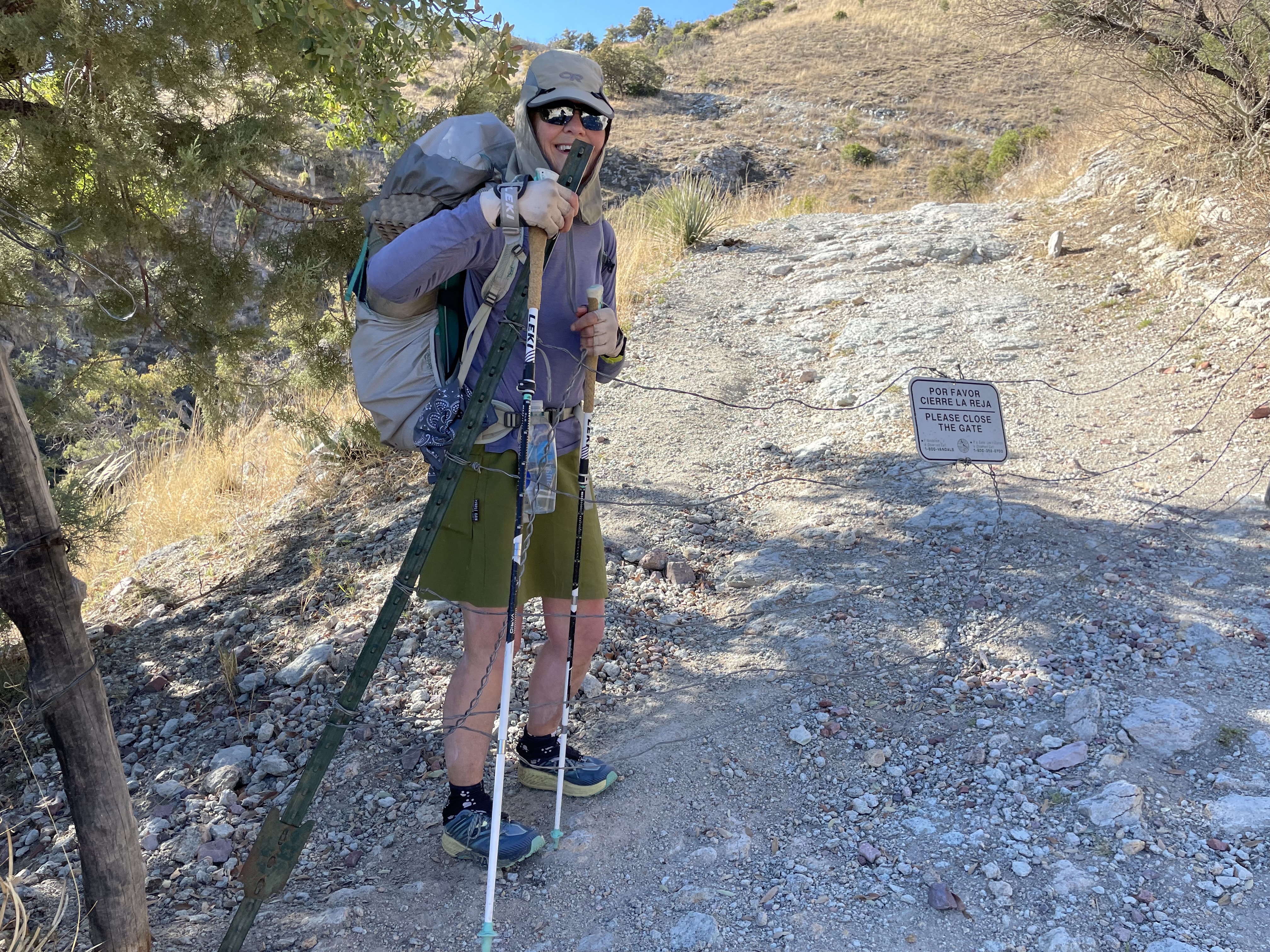
We didn’t get on the trail until two. It started on a gravel road that narrowed to a small rutted dirt road. Since leaving Miller’s Peak on the first day, we mostly been hiking with cows and going through gates. When it was time to pitch our tent, we found a nice flat spot. All we needed to do was clear the cow pies. Needs Cheese

Patagonia at 🌅 Thursday March 31, 2022

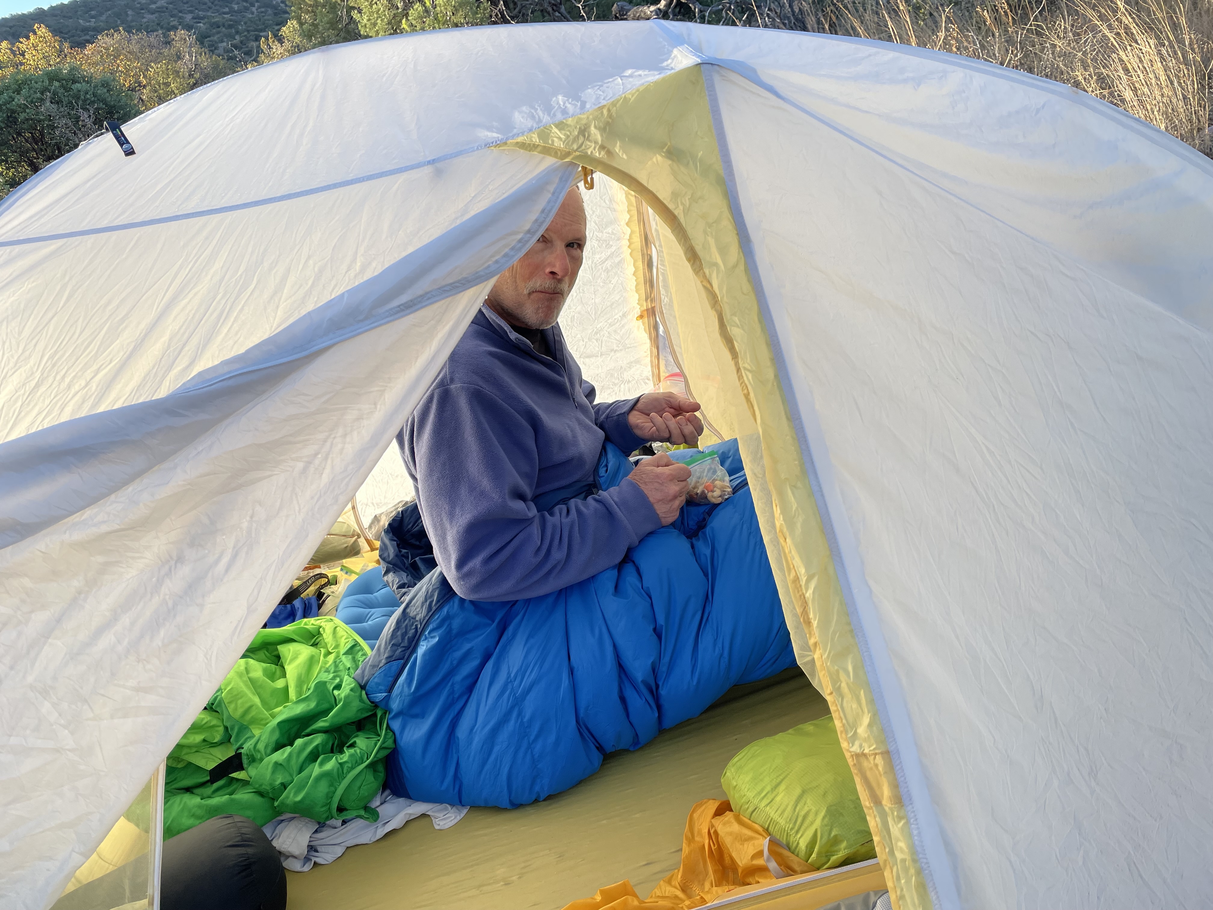
I woke at 3:00 and sat up at 3:30 to begin yesterday’s journal. At 5:30 I began the process of packing from inside the tent. We both have our own doors and vestibules. I keep my backpack under the fly. I pulled it near the tent and start to load items hoping I’m putting them somewhere I’ll find them again.

The first two nights of this journey drove our soaking wet selves into our tent post haste. We stripped the wet outer layer and slept in our inner laying. No time for sleeping clothes. I liked not fussing with clothes in the morning and continued just sleeping in my clothing. Now all I need to do is pull my hiking skirt on which I do lying down. I stuff my sleep bag in the sack, pop the deflate on my Ex-Ped sleeping pad, roll it up and I’m mostly packed.

The sun actually hits our tent this morning. How did we get so lucky? Terry can sleep through this because he is much faster than I am, the sun makes rising easier, warmer. Even though I think this will be our early escape, we don’t hit the trail until 7:45. We have 17 miles to Patagonia so we needed and early start.

The weather was perfect for hiking, cool and sunny. We began with some trees, but desert climate stole them by 10:30. We ware on the dry side now where green is replaced with gray. Sitting gets hard because most of the vegetation has some form of thorn. It’s seems important to get off your feet but just taking off your pack is a rest.

The Dry Side of Paradise

At about 3:00, we still have 6 mile to go. We can’t make it in time to pick up our food box before the post office closes. The idea that it was an easy trek into Patagonia, wasn’t true. It continued to be difficult. We needed that early start.

We came to a fork with a arrow made stick pointing to the right. We followed it. Many of the bushes had orange ties on them. The trail wa easy to follow and out pace was good. About 1.6 miles later, Terry checks his app and we’re more than a mile off the trail. How could this be?? We go back a half mile and then wrestle with more confusing information and then continue back in the errors of our way. A half mile later, we turn back to the trail. Now we’ve gone at least four miles out of our way and still have 6 to go.

I haven’t had my pack off for hours. We haven’t sat for hours! At five miles we run into a trail angel. A guy in his early twenties who has hike about 10 long distance trails in the past four years, who now has a daypack full of tangerines he’s handing out, and he gives us water!!! We were almost out of food and water. We didn’t plan for the detour.

Prettier on the tow side

Over the last hill we spot six Javelinas, one with monster tusks! With two miles left and a quickly setting sun we’re left with a two mile road walk. The sun sets at 6:30. We arrived at Terra del Sol campground by seven. Long hard 21 miles…

Ups and Downs Wednesday March 30, 2022

We woke under dripping ceiling and side walls. It had rained early in the night but I think that was the end of it. At 3:30 I was searching for my coffee. I have Starbucks lattes in small packets. It’s powder. I pour it and cold water into my cup. It turns to a clumpy mixture and I stir and stir. The cup has dried clumps from Monday and Tuesday. It’s all quite horrible and wonderful at the same. You never wash anything on a desert trail.

Good morning

Everything is soaked. The sun peaked over about 6:15 but did not hit our tent. We carried everything to the field and draped it on bushes and stubbly ground. The process is slowed by me searching for my sunglasses, which was in vane. This process took a couple of hours and we didnt hit the trail until after 9:00.

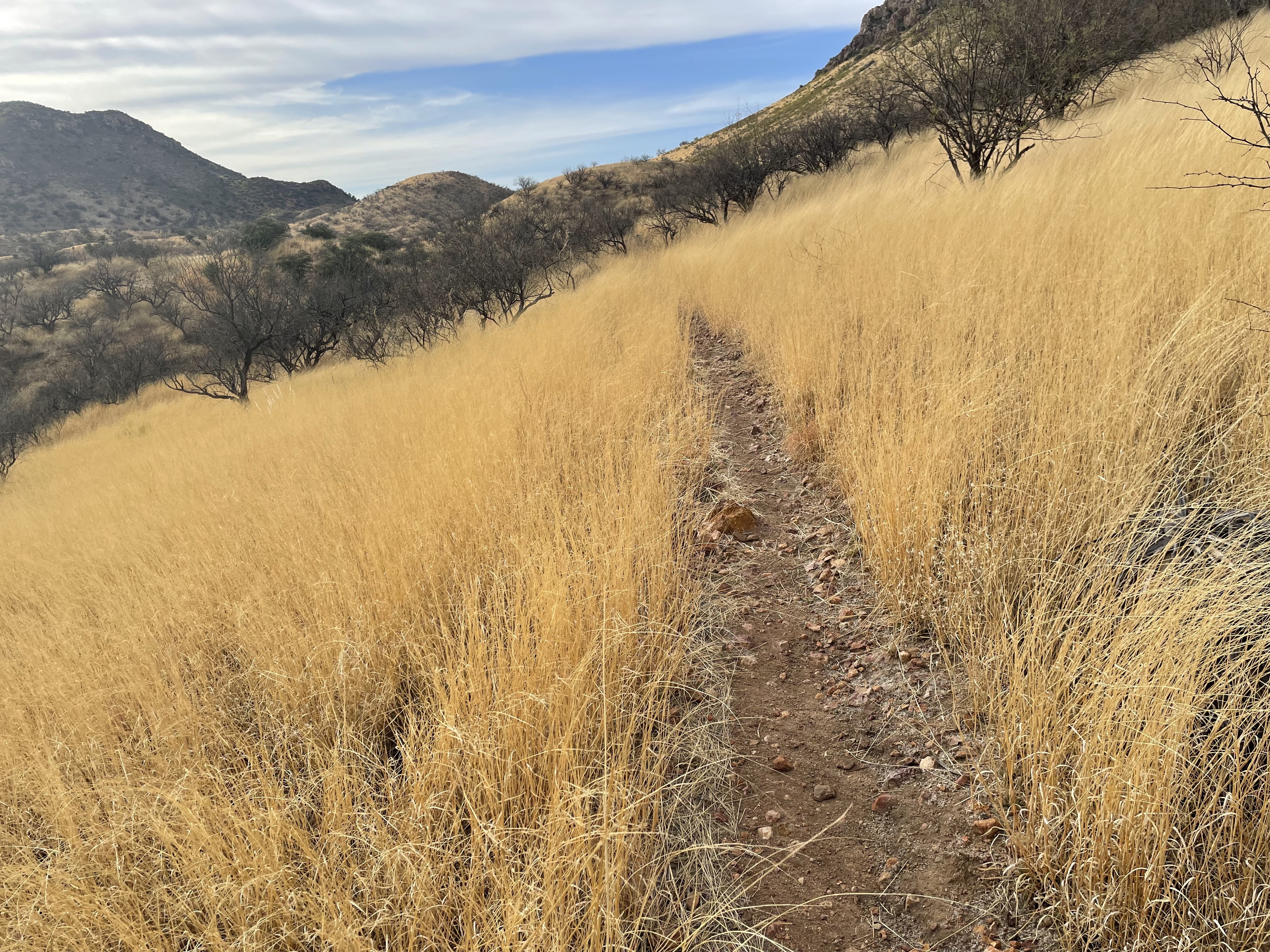
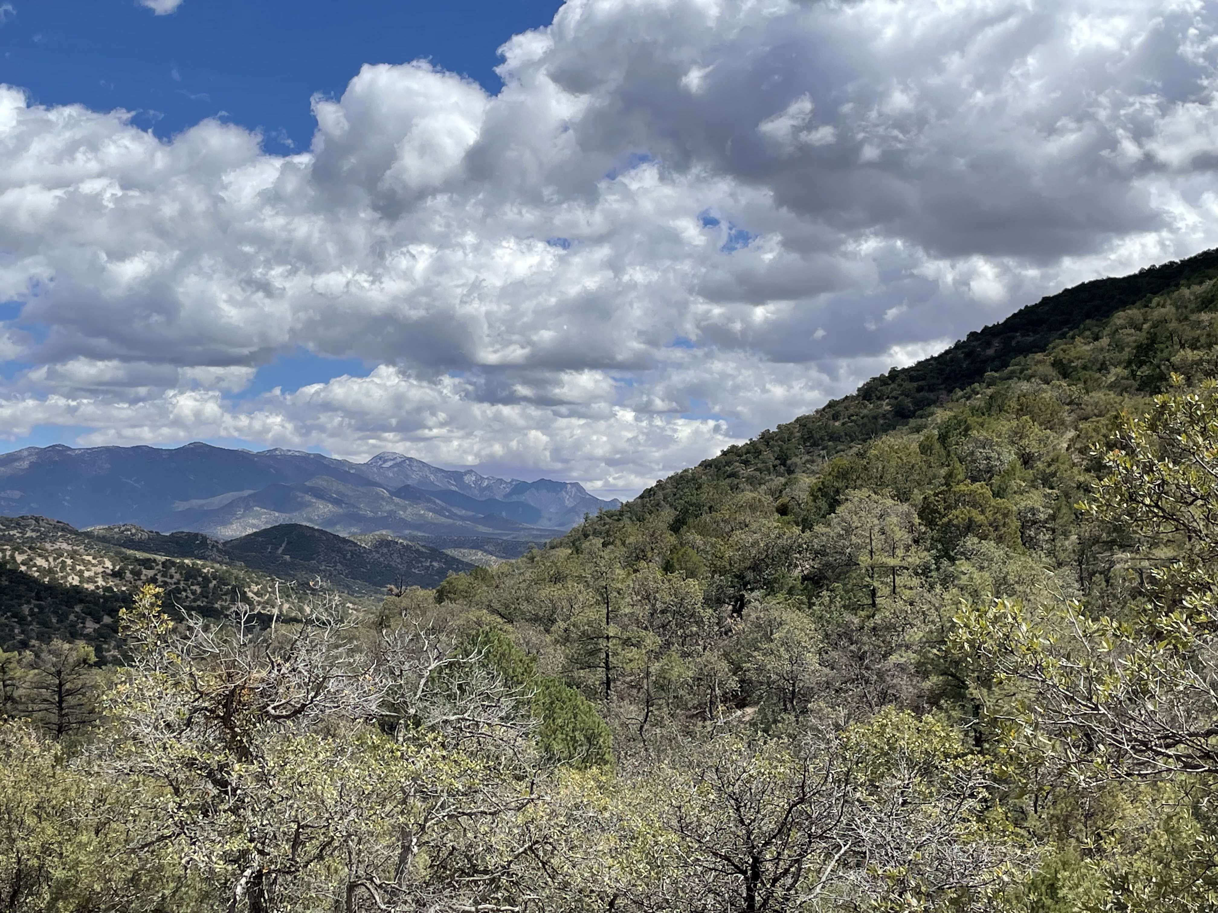
We headed down the trail past Parker Canyon Lake, large and scenic. The trail is wide without rocks. This will be an easy day, I dream. We’re traveling along a wide ridge and often we can view the landscape on both sides. Far below are long basins that stretch miles without towns or trees. These are not the cracked, grey deadly basins. They look like fields with yellow grass. In the background are silhouettes of mountains in all forms. It’s lovely. When we pass nearer the landscape, We’re amazed by how green the foliage is. At one point we saw a small barrow barrel shaped, multi-colored cactus. Terry used the app, Seek, to identify it as a Rainbow Hedgehog Cactus.

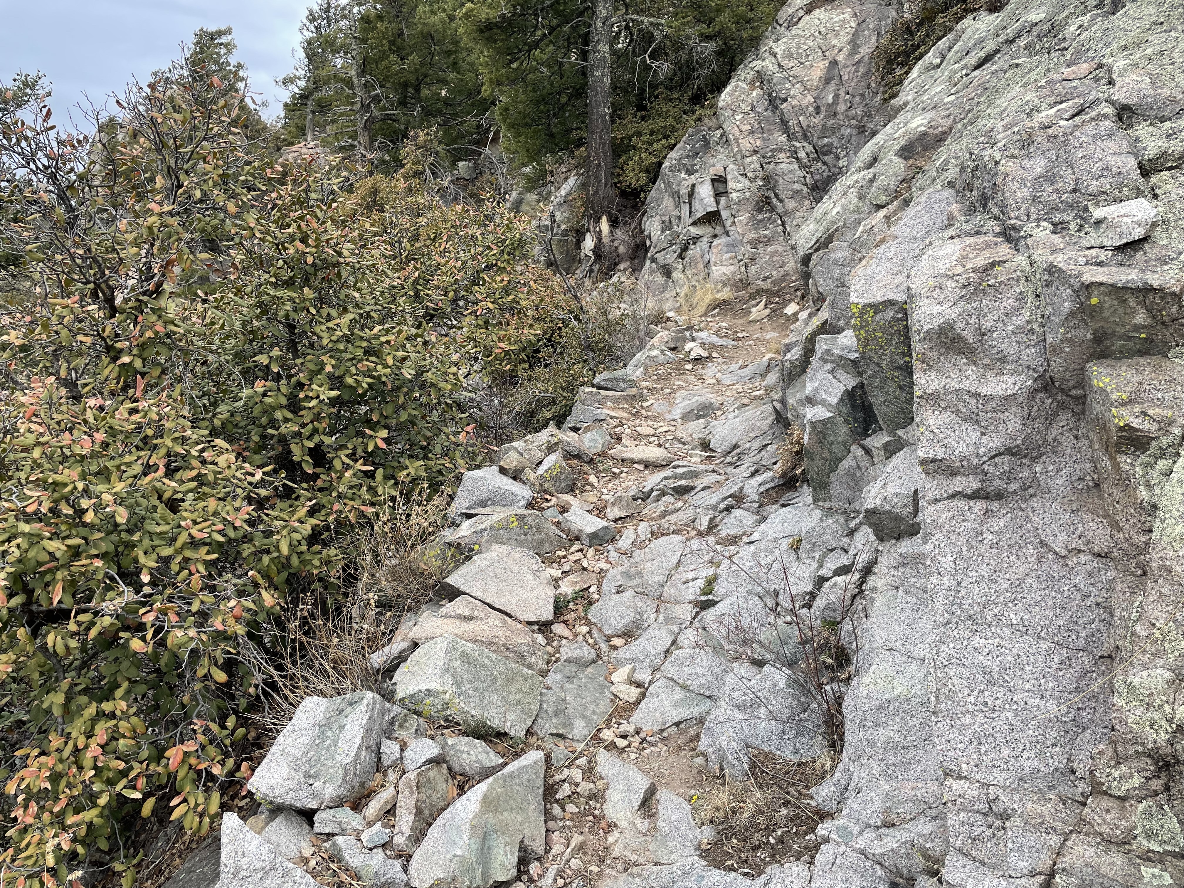
My easy day becomes hard. We ascend a hill with many switchbacks and steep climbs. And then the descent is littered with rock. And the pitch is shin splitting. We pick through hills all day. It’s brutal.

The weather, however, was perfect cool and bright with billowing clouds. It’s so peaceful. We were unprepared for such solitude. We had heard the trail was really popular. We’ve only seen four people in three days.

As we twisted and turned through a couple of creeks, some with water but mostly dry beds, we were up and down and around. The hiker we met on day one said that the last twenty miles before Patagonia was flat and easy. I thought for sure we had entered that zone. Until one of ups didn’t stop. And then it switched baked and then a long pull and it seem this pattern of torture would not end. I began cursing and blubbering until we reached the summit and then it was after five and the sun was behind the hill. We began searching for a campsite. Some of the most promising ones turned out to be ant hills. But we went on and found our best site so far. We got the tent up and settled for dinner in our tent by 7:00. How sweet it is to be dry. We don’t have dark skies, there is dim incident light at the edge of the sky from down below, but compared to living in the redwoods with stars only showing in holes in the canopy, it was great seeing whole constellations. The coyotes howling and foxes barking.

Hills and more hills

Wind howled all night!

At 6:00, the usual time to get started, sleet was slamming sideways. We waited. By 8:00 there was no change. We jammed our belongings hastily into our packs, but as Deb reached for her mittens, one was gone. Maybe mixed in the tent wad in my pack, so I started unpacking. Thankfully it was inside. All the while sleet was penetrating wherever it could.

Frozen clouds on pines

With the temp around 30 F, the wind drove us down the mountain. Shards of frozen clouds came sideways, breaking from the pines lining the rocky trail. All day we descended the cobbly trail in sleet, snow, or freezing rain. Progress was slow. At 4:30, Deb was nearly hypothermic, so we pitched the tent in a drizzle on a flat spot along the trail. Twelve miles in 8 grueling hours.

And we’re off

Trail Heads

Our shuttle driver was great, lots of knowledge about the trail. We were joined by Holly a PCT hiker from Juneau. One more passenger made the fee less. Her pack was truly minimal with only a small tarp held up by one hiking pole.

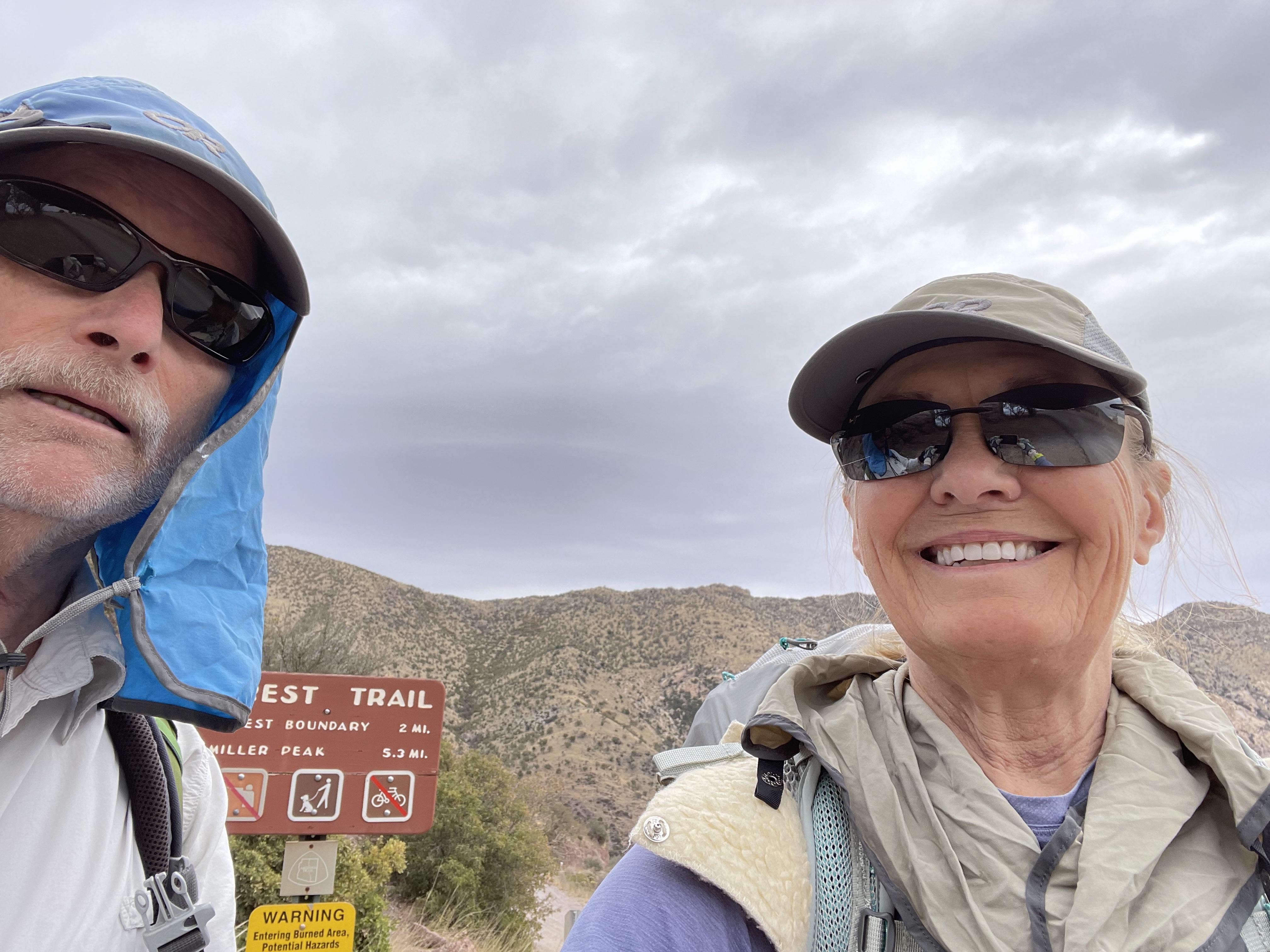
At the trailhead the skies were ominous with dark clouds and the air was cool. We began our ascent. It was a slow climb one mile an hour. We stopped for lunch which was our only break. The trail turned and we were in driving punishing wind. We were blasted from the side and slowed to slower crawl with the headwinds. Summiting Miller’s Peak at over 9,000 feet, we then descended two miles to Bathwater Spring. Holly and Mike were there. They decided to spend the night. Terry got water from the bathtub. The winds were picking up. We had only gone six miles, so we decided to get more miles.

Up and up
Yes, there is a trail!

We didn’t get far. As we were heading out of camp, the wind turned fierce and it began to sleet. We wrestled our tent up on a space just above the two other tents. Everything was whipping around. By 4:30 we were hunkered down, the wind whistling and screaming all night. Pine trees became encased in ice and the shards from their branches pelted us all night.

The Night Before

Looks Inviting

This was a long day, hours in LAX in the midst of hundreds of thousands of people talking too loudly, gesticulating too wildly. And me fretting and fretting about what I might have forgotten and imagining me humped over under great weight.

Of course we had to leave our gallons of water behind because bottles of water are easy to come by as is the small canister of gas for our tiny Jetboil stove. Water was difficult, but the gas was impossible.

Terry is my rock. We will make it work except for Tuesday ‘s forecast of rain that could bring snow upon us as we climb over 9,000 feet. Right now this is what the journey looks like. But two miles in, it will be just walking and walking Joaquín. Consumed by the rhythm of an unknown trail. Nothing more.

Panic Time Arizona Trail Awaits

Is this possible?

It’s the little problems that stop progress. How did I lose all my masks? Why doesn’t the USPS Click N Ship open? How did a birthday meal for my son Andy turn into a party for 11? We have to host it today the day before we leave! Now it seems I’m not ready. It’s the lists of gear and food. It’s checking off the list. It’s miniaturizing every item. And the culling. The culling.

Diana and Kellogg volunteered to mail our food to assigned post offices along the trail. The struggle is to guess where we’ll be. How am I fit to do this when I spend most of my day “Where am I?” and “What was I doing?

There are many things to consider, altitude, grade of ascent, weight of pack, strength, fitness and fortitude. My fortitude barely compensates for weak lungs. We start at altitude. We live at sea level. And we will be flown and driven to 5900 feet and immediately begin a 3190 feet ascent to 9090 feet. Will I make any progress on day one?

Many serious road blocks await to reach Patagonia, our first town 51 miles ahead. But we assign it an optimistic four day hike. We’ll have a 4-day food box packed waiting for Diana, or maybe Kellogg, to attach a label on the large priority box teaming with trail food and mail it four days before we HOPE to arrive. The mailing date is March 28th the same day we’ll be dropped off by a AZT shuttle driver. For $150.00 he’ll pick us up from the hotel and drive us to our start. We’ll don our packs, look forward, as though standing before the minister trying to remember our vows, and ponder 🤔 whether the fear and trepidation of committing ourselves to trust in only ourselves is ill-conceived. We won’t look back.

Saturday, June 19. 2021

This will be our last day. As we eat in our solitude, a man comes running by in shorts, running shoes and a hydration vest. He was running our 61-mile route a one day run for him. Shortly he was followed by a woman. At 7:30 am they had run about 10 miles.

Still Navigating.

We went about 2.8 miles on this trail the day before, leaving us a 10-mile day. But not just a 10-mile hike, but one with an altitude gain of 2,372 feet and an altitude loss of 1,732 feet. This will be our hardest day. My recollection of doing this trail five years ago in the opposite direction was that it wasn’t hard. But I ascended 1,732 feet and descended 2,372 feet. Plus, I was 66 and now I’m 71. 

All I can say about this is that the uphill was tough, and the downhill was grueling and unending. If one more person told us we only hadtwo miles to go, we were going to beat them bloody. So, we quit asking how far it was to South Lake. 

We were so sore; we couldn’t really appreciate the parking lot which the trail dumped us onto. We had to drive some distance to have enough signal to text Robert and ask if his invitation to spend the night was still open. He responded that mi casa es su casa. He would only be there for an hour. He was heading out to camp on a ledge because that’s what he does on the anniversary his marriage. His wife died several years ago. He would put out sheets for us and we could sleep in separate bedrooms with our own baths. 

We stopped at McDonald’s drive-thru and ate in the parking lot. We arrived in time to get instructions from Robert and wish him well. Then we went to Safeway for some junk food. 

It was over.

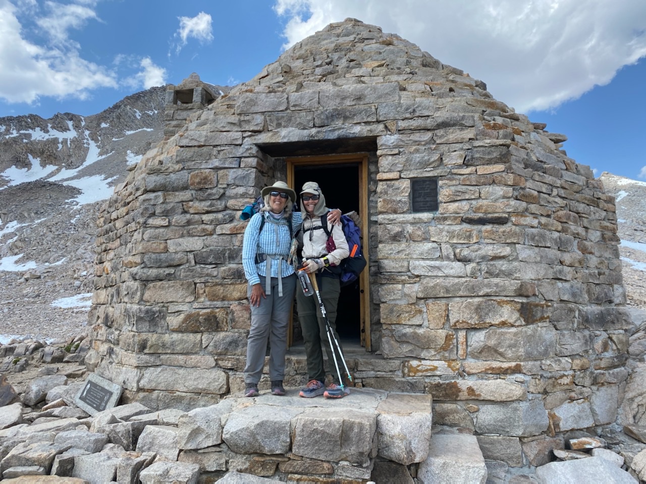
We did have many triumphs. Back at Muir Hut.

Friday, June 18, 2021

About 3:30 AM the wind whipped the tent until it sounded like something might snap. Then the rain came followed by a large crack of lightning a short two-counts later a deep boom of thunder rolling through Le Conte Canyon. Head lamps came on as other hikers scurried to get their tent flies up. The storm continued for twenty minutes. Luckily the intervals between lightning and thunder grew until we lost sight of the lightning and only heard faint echoes of thunder. Canyons are dramatic stages with crazy quick storms pushing through. And then the quiet dominated.

The morning after the storm.

Our morning revealed no damage not even a branch down. But there was water to sop up and to wring out.  At its worst, it was annoying. At 9:30 am we pack out, this would be our latest start. Eight AM is usual. 

We continued downhill on moderate terrain. At a small creek a guy was squeezing water through his Sawyer. I ask how far we were from the hordes of mosquitoes we had been hearing about. He said the distance was zero. I stood unfazed by bites and truly amazed because mosquitoes always love me. We, too, needed to filter water, but decided to get closer to our turn-off on the Bishop Pass trail which came up a little quicker than we expected. We had questions about a good place to camp. We were heading from a low spot of 8,750 feet out of the canyon, into two major squiggles on the map indicating switchbacks and major uphill.

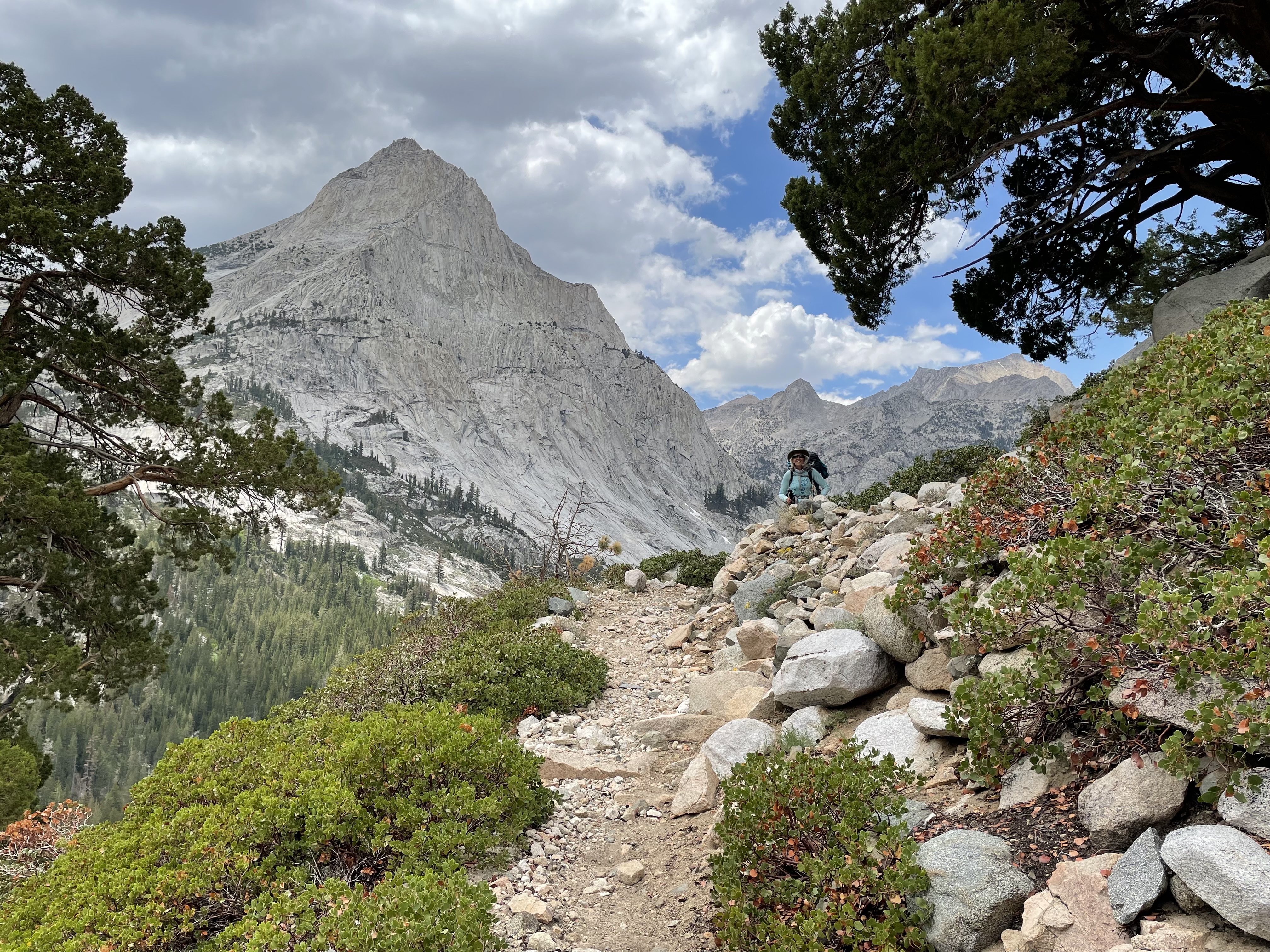
Heading down Le Conte Canyon

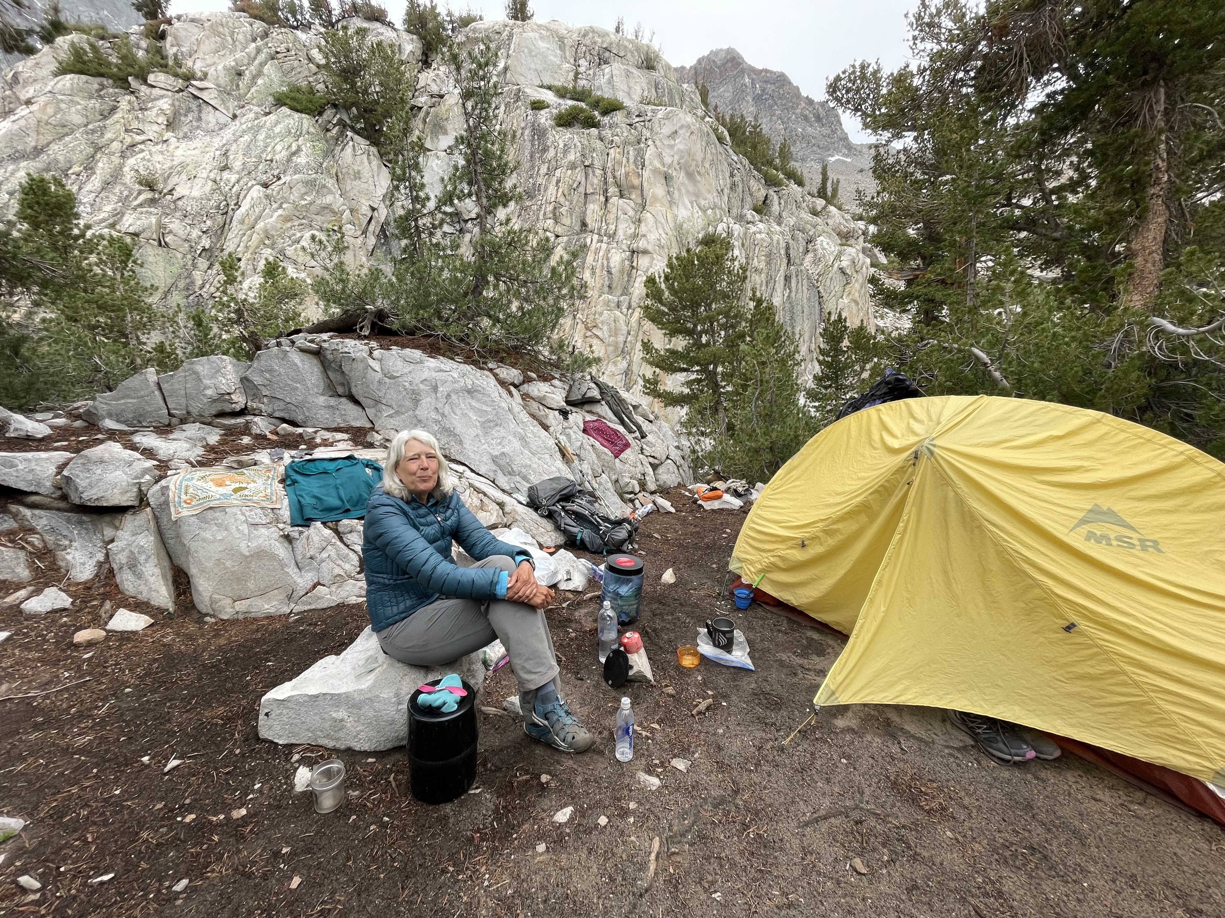
We had heard that Dusy Valley was good for camping but was over-taken by mosquitoes. We believed that perhaps our mosquito luck was running out, so we should camp before the valley. There was a ranger station a few feet across the trail from the turn off. The ranger appeared to be absent. Then I saw a guy sitting on one of the chairsin front of the cabin. I walked up and took the other chair hoping to ingratiate myself to gain some information about Bishop Pass and water. The only information I gained was how comfortable and utilitarian a chair is. I longed to sit for an hour. 

I took a guess that there was water just down the road. I gathered our bottles and filter. And there it was a large campsite with a stream. Robin came down and helped. And then we stepped on to our last section heading onto Bishop Pass Trail and up the first of two switchbacks. It seemed endless, but at the plateau we had nice level granite. It was a bit early to stop, but we weren’t sure we’d find something this flat and then would end up climbing for another couple hours. We set up camp. I walked ahead and right away found a creek. Beautiful. There was a mix of trees and granite with enough open views to watch the skies.